Tocht Fiets Chaumousey - parcours S triathlon - Photo

parcours S triathlon

 zibane54
zibane54

Gebruiker

© OpenStreetMap contributors
Lengte
Lengte
20 km
Max. hoogte
Max. hoogte
463 m
Positief hoogteverschil
290 m
Km-Effort
Km-Effort  
24 km
Min. hoogte
Min. hoogte
356 m
Negatief hoogteverschil
289 m
Boucle
Boucle
Ja
Datum van aanmaak :
2016-06-09 00:00:00.0
Laatste wijziging :
2016-06-09 00:00:00.0

(0 Bericht)

Fiets
Fiets
40m
Moeilijkheid : Onbekend

Scan deze QR-code om de tocht te openen in de SityTrail-applicatie

Gratisgps-wandelapplicatie

Logo SityTrail SityTrail

IGN / Geografische instituten

SityTrail uit de App Store downloaden SityTrail uit Google Play downloaden

Logo SityTrail SityTrail World

De wereld gaat voor u open

SityTrail uit de App Store downloaden SityTrail uit Google Play downloaden SityTrail op Huawei AppGallery downloaden

Over ons

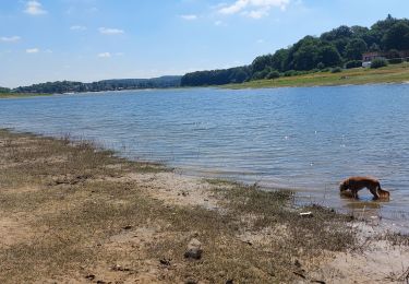
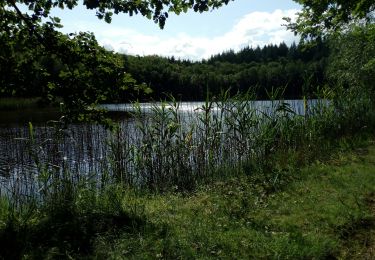
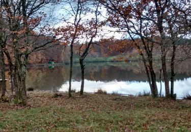
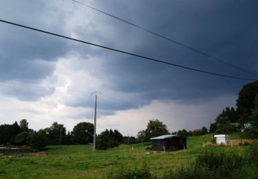
Tocht Fiets van 20 km beschikbaar op Grand Est, Vogezen, Chaumousey. Deze tocht wordt voorgesteld door zibane54.

Beschrijving

parcours cycliste du triathlon S d'EPINAL

Hoogteprofiel

Plaatsbepaling

Land:
France
Regio :
Grand Est
Departement/Provincie :
Vogezen
Gemeente :
Chaumousey
Locatie:
Unknown
Vertrek:(Dec)
Vertrek:(UTM)
303115 ; 5338212 (32U) N.

Wandeltochten in de omgeving

Tocht Stappen Chaumousey - Bouzey, côté abbaye  - Photo
Stappen
triburemy

Stappen

Medium
Chaumousey, Grand Est, Vogezen, France
6,1 km | 7,5 km-effort
1h 40min
Ja
Tocht Stappen Épinal - humbertois les ,2lacs - Photo
Stappen
BernardHumeau

Stappen

Medium
Épinal, Grand Est, Vogezen, France
7,3 km | 8,9 km-effort
1h 55min
Ja
Tocht Stappen Sanchey - A la Découverte de BOUZEY - Photo
Stappen
jeanclaude12

Stappen

Heel gemakkelijk
Sanchey, Grand Est, Vogezen, France
7,7 km | 9,3 km-effort
2h 4min
Ja
Tocht Stappen Épinal - Aux Champs de Damas - Photo
Stappen
jeanclaude12

Stappen

Gemakkelijk
(2)
Épinal, Grand Est, Vogezen, France
8,4 km | 10,3 km-effort
2h 17min
Ja
Tocht Stappen Sanchey - Circuit du tour du Lac de Bouzey - Photo
Stappen
tracegps

Stappen

Gemakkelijk
Sanchey, Grand Est, Vogezen, France
7 km | 8,5 km-effort
1h 40min
Ja
Tocht Mountainbike Chaumousey - Espace VTT FFC Chemins du Coeur des Vosges - circuit n°87 - Circuit de l'Abbaye - Photo
Mountainbike
tracegps

Mountainbike

Medium
(1)
Chaumousey, Grand Est, Vogezen, France
11,7 km | 14,8 km-effort
1h 0min
Ja
Tocht Mountainbike Dommartin-aux-Bois - 2024-02-09_12h07m04_10178317_Le_Chanot_MAJ_ONF - Photo
Mountainbike
elgatolopez

Mountainbike

Moeilijk
Dommartin-aux-Bois, Grand Est, Vogezen, France
31 km | 38 km-effort
2h 40min
Ja
Tocht Stappen Chaumousey - bouzey  - Photo
Stappen
randolea

Stappen

Medium
Chaumousey, Grand Est, Vogezen, France
6,3 km | 7,3 km-effort
1h 27min
Ja
Tocht Stappen Renauvoid - marche - Photo
Stappen
randolea

Stappen

Moeilijk
Renauvoid, Grand Est, Vogezen, France
14,2 km | 17,4 km-effort
1h 46min
Neen


Sluiten
Mijn abonnementen