


Compostelle 2: 6-Cahors - Lescabanes

prv
Gebruiker
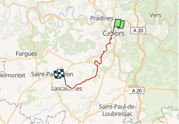

Lengte
26 km

Max. hoogte
315 m

Positief hoogteverschil
569 m
Km-Effort
33 km

Min. hoogte
110 m

Negatief hoogteverschil
484 m
Boucle
Neen
Datum van aanmaak :
2016-07-31 00:00:00.0
Laatste wijziging :
2016-07-31 00:00:00.0
6h20
Moeilijkheid : Onbekend

Gratisgps-wandelapplicatie
 SityTrail
IGN / Geografische instituten
SityTrail Plus
De wereld gaat voor u open
Over ons
Tocht Stappen van 26 km beschikbaar op Occitanië, Lot, Cahors. Deze tocht wordt voorgesteld door prv.
Beschrijving
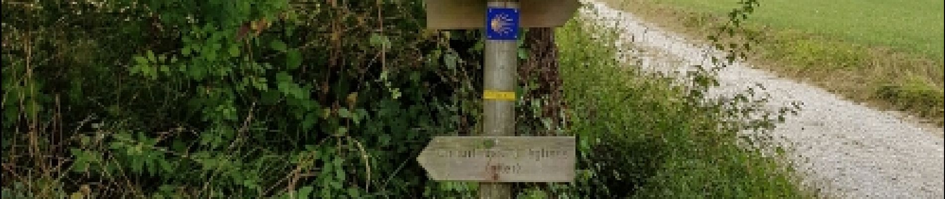
St Jacques de Compostelle par la vallée du Célé
Foto's

Plaatsbepaling
Land:
France
Regio :
Occitanië
Departement/Provincie :
Lot
Gemeente :
Cahors
Locatie:
Unknown
Vertrek:(Dec)
Vertrek:(UTM)
375439 ; 4922538 (31T) N.
Opmerkingen