


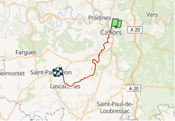

62 km | 81 km-effort

Gebruiker


Gratisgps-wandelapplicatie
 SityTrail
IGN / Geografische instituten
SityTrail World
De wereld gaat voor u open
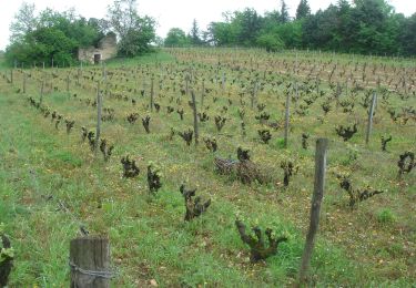
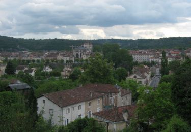
Tocht Stappen van 26 km beschikbaar op Occitanië, Lot, Cahors. Deze tocht wordt voorgesteld door prv.
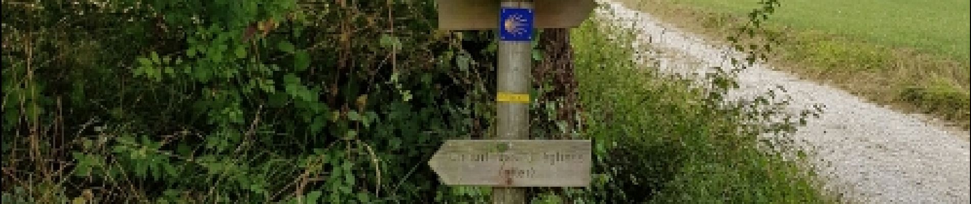
St Jacques de Compostelle par la vallée du Célé


Mountainbike

Stappen

Noords wandelen
Stappen
Stappen

Stappen

Stappen
Lopen