


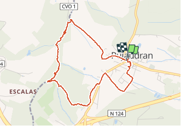

9,7 km | 12,4 km-effort


Gebruiker


Gratisgps-wandelapplicatie
 SityTrail
IGN / Geografische instituten
SityTrail World
De wereld gaat voor u open
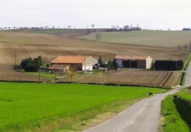
Tocht Stappen van 5,2 km beschikbaar op Occitanië, Gers, Pujaudran. Deze tocht wordt voorgesteld door Yonl.
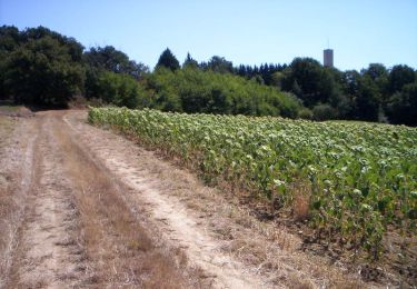
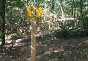
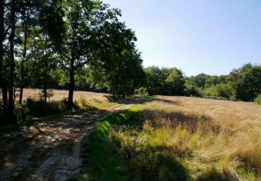
Un circuit sympathique majoritairement en forêt.
Attention, il y a quand même un peu de dénivelé et certains passages peuvent être glissants.
Te voet

Lopen
Stappen
Lopen

Stappen
Stappen

Lopen
Mountainbike
Lopen