Tocht Stappen Étaing - Rando CAF étangs de la Sensée.  - Photo

Rando CAF étangs de la Sensée.

 reneperrin
reneperrin

Gebruiker

© OpenStreetMap contributors
Lengte
Lengte
21 km
Max. hoogte
Max. hoogte
59 m
Positief hoogteverschil
119 m
Km-Effort
Km-Effort  
22 km
Min. hoogte
Min. hoogte
32 m
Negatief hoogteverschil
119 m
Boucle
Boucle
Ja
Datum van aanmaak :
2016-12-11 00:00:00.0
Laatste wijziging :
2016-12-11 00:00:00.0

(0 Bericht)

Stappen
Stappen
4h43
Moeilijkheid : Gemakkelijk

Scan deze QR-code om de tocht te openen in de SityTrail-applicatie

Gratisgps-wandelapplicatie

Logo SityTrail SityTrail

IGN / Geografische instituten

SityTrail uit de App Store downloaden SityTrail uit Google Play downloaden

Logo SityTrail SityTrail World

De wereld gaat voor u open

SityTrail uit de App Store downloaden SityTrail uit Google Play downloaden SityTrail op Huawei AppGallery downloaden

Over ons

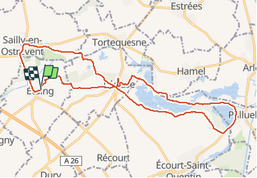
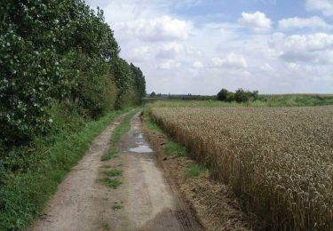
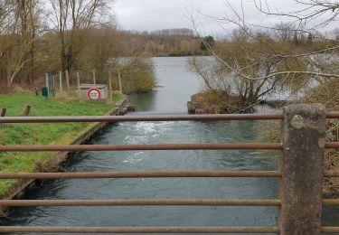
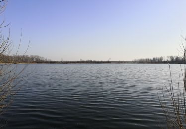
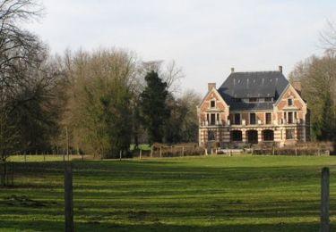
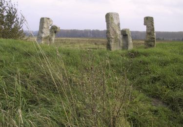
Tocht Stappen van 21 km beschikbaar op Hauts-de-France, Pas-de-Calais, Étaing. Deze tocht wordt voorgesteld door reneperrin.

Beschrijving

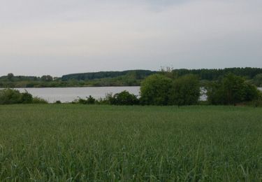
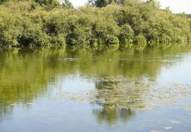
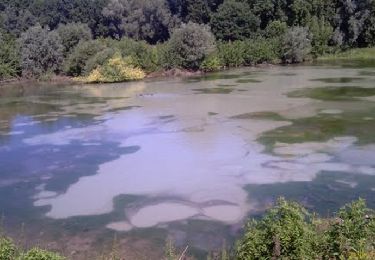
boucles autour des etangs

Hoogteprofiel

Plaatsbepaling

Land:
France
Regio :
Hauts-de-France
Departement/Provincie :
Pas-de-Calais
Gemeente :
Étaing
Locatie:
Unknown
Vertrek:(Dec)
Vertrek:(UTM)
500098 ; 5569229 (31U) N.

Wandeltochten in de omgeving

Tocht Stappen Lécluse - Tour des marais a l'Ecluse - Photo
Stappen
terminio

Stappen

Heel gemakkelijk
Lécluse, Hauts-de-France, Noorderdepartement, France
7 km | 7,4 km-effort
1h 45min
Ja
Tocht Stappen Lécluse - Autour des marais (Lécluse) - Photo
Stappen
tracegps

Stappen

Medium
Lécluse, Hauts-de-France, Noorderdepartement, France
10,5 km | 11,3 km-effort
2h 40min
Ja
Tocht Stappen Écourt-Saint-Quentin - Les marais autour d' Ecourt St Quentin - Photo
Stappen
tracegps

Stappen

Medium
Écourt-Saint-Quentin, Hauts-de-France, Pas-de-Calais, France
10,4 km | 11,1 km-effort
2h 0min
Ja
Tocht Stappen Lécluse - lécluse - Photo
Stappen
jeanluc59

Stappen

Medium
Lécluse, Hauts-de-France, Noorderdepartement, France
10,7 km | 11,5 km-effort
3h 4min
Ja
Tocht Stappen Noyelles-sous-Bellonne - Noyelles sous Bellonne - Photo
Stappen
jpblimond

Stappen

Medium
Noyelles-sous-Bellonne, Hauts-de-France, Pas-de-Calais, France
19 km | 21 km-effort
4h 36min
Ja
Tocht Stappen Rumaucourt - étang entre Ecourt St Quentin et Rumaucourt - Photo
Stappen
Celtie

Stappen

Heel gemakkelijk
Rumaucourt, Hauts-de-France, Pas-de-Calais, France
3,2 km | 3,5 km-effort
54min
Ja
Tocht Stappen Dury - Dury - Saudemont - Recourt - Etaing - Eterpigny - Photo
Stappen
tracegps

Stappen

Medium
Dury, Hauts-de-France, Pas-de-Calais, France
10,6 km | 11,6 km-effort
2h 0min
Ja
Tocht Stappen Étaing - Etaing - Les Bonnettes - Sailly en Ostrevent - Photo
Stappen
tracegps

Stappen

Medium
Étaing, Hauts-de-France, Pas-de-Calais, France
10,7 km | 11,6 km-effort
2h 0min
Ja
Tocht Stappen Vis-en-Artois - Vis en Artois - Rémy - Photo
Stappen
tracegps

Stappen

Medium
Vis-en-Artois, Hauts-de-France, Pas-de-Calais, France
10 km | 11,1 km-effort
2h 0min
Ja


Sluiten
Mijn abonnementen