


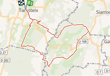

7 km | 8,7 km-effort


Gebruiker


Gratisgps-wandelapplicatie
 SityTrail
IGN / Geografische instituten
SityTrail World
De wereld gaat voor u open
Tocht Noords wandelen van 11,2 km beschikbaar op Occitanië, Hautes-Pyrénées, Tarasteix. Deze tocht wordt voorgesteld door cromignon.
Circuit de MN-11 du club LPC de GER(64); départ église de Tarasteix, se rapproche de Lagarde, emprunte en partie le GR 101.
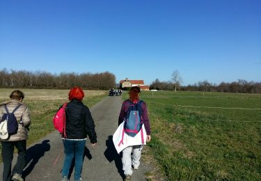
Te voet
Stappen
Stappen

Stappen
Te voet
Stappen

Te voet
Stappen
Noords wandelen
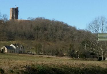
circuit facile vue sur la montagne