


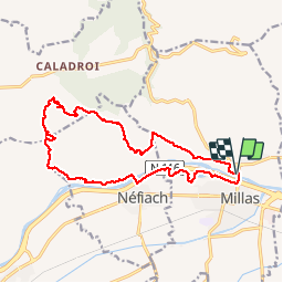

6,7 km | 11,4 km-effort

Gebruiker


Gratisgps-wandelapplicatie
 SityTrail
IGN / Geografische instituten
SityTrail World
De wereld gaat voor u open
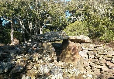
Tocht Stappen van 17 km beschikbaar op Occitanië, Pyrénées-Orientales, Millas. Deze tocht wordt voorgesteld door ThonyM.
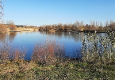
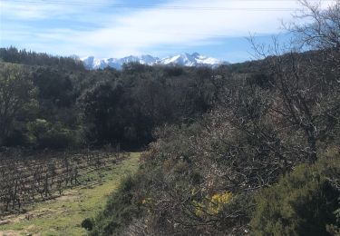
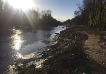
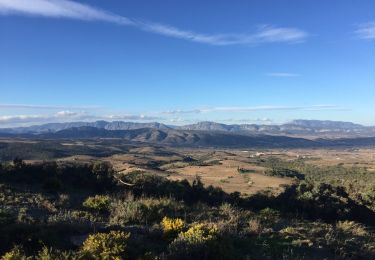
Une randonnée sans difficulté majeure en boucle depuis La rive de la Tet.


Te voet
Stappen
Stappen
Stappen
Stappen

Lopen
Stappen
Stappen

Stappen