


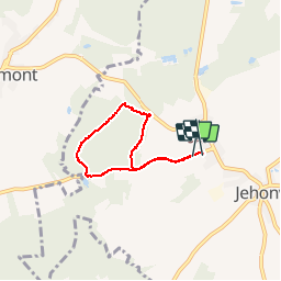

20 km | 26 km-effort

Gebruiker


Gratisgps-wandelapplicatie
 SityTrail
IGN / Geografische instituten
SityTrail World
De wereld gaat voor u open
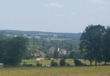
Tocht Andere activiteiten van 4,7 km beschikbaar op Wallonië, Luxemburg, Bertrix. Deze tocht wordt voorgesteld door obourcart.

Stappen
Stappen

Andere activiteiten
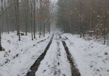
Te voet
Mountainbike
Te voet
Te voet

Te voet

Te voet
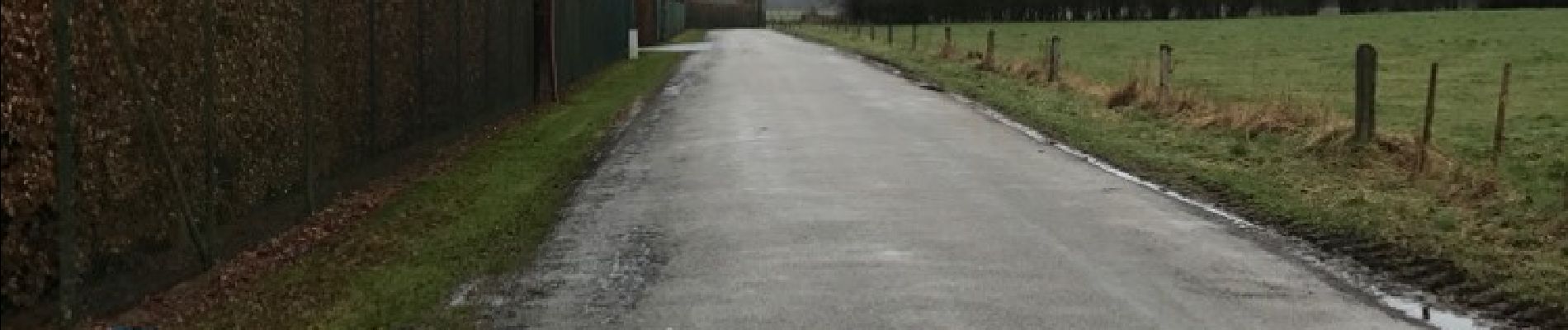
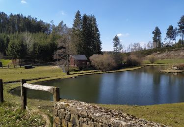
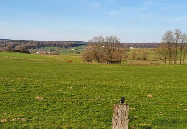
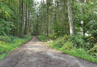
Petite balade familiale au départ du gîte, attention toutefois sur la route de planais, ça roule vite