


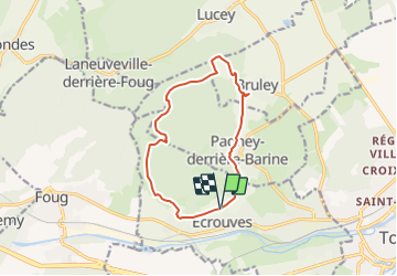

9,2 km | 12 km-effort


Gebruiker


Gratisgps-wandelapplicatie
 SityTrail
IGN / Geografische instituten
SityTrail World
De wereld gaat voor u open
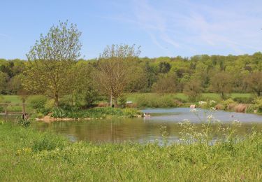
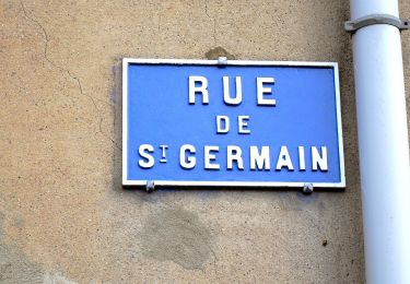
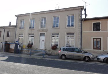
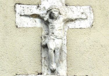
Tocht Stappen van 11,2 km beschikbaar op Grand Est, Meurthe-et-Moselle, Écrouves. Deze tocht wordt voorgesteld door DanielROLLET.
29.03.2017 13h55 à 17h00
Reco ASPV 6 personnes dont MM
Trés beau temps
Trés agréable et trés varié
les Joly 5mn
Gérard et Lucette 25mn
Perdu au moins 15mn avec Lucette
Te voet

Mountainbike
Mountainbike
Te voet
Te voet
Te voet
Te voet
Te voet
Te voet