


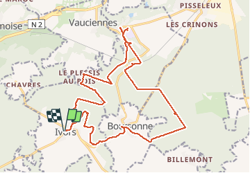


24 km | 29 km-effort

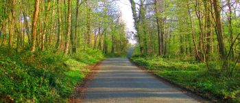
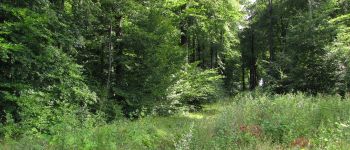
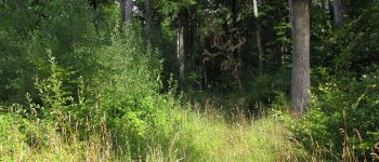
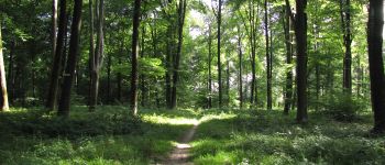
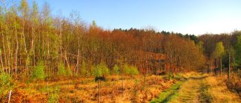
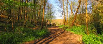
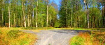
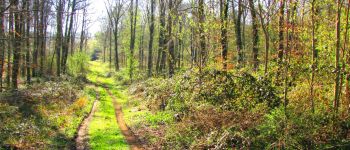
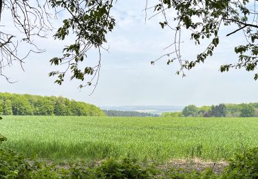
forêts de France


Gratisgps-wandelapplicatie
 SityTrail
IGN / Geografische instituten
SityTrail World
De wereld gaat voor u open
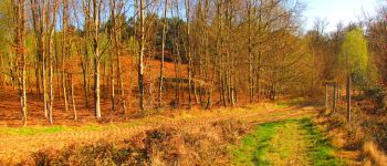
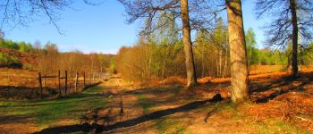
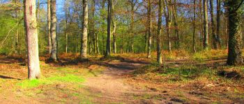
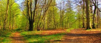
Tocht Stappen van 22 km beschikbaar op Hauts-de-France, Oise, Ivors. Deze tocht wordt voorgesteld door en forêt de Retz.
voir aussi:
http://foret-de-retz.over-blog.com/
04/ 2017
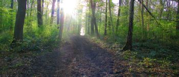
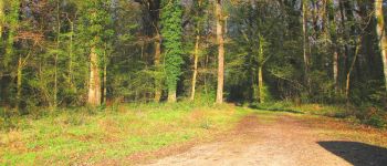
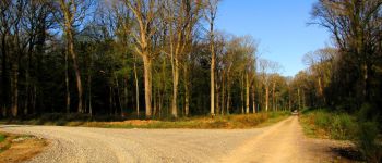
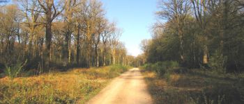
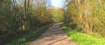
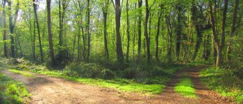
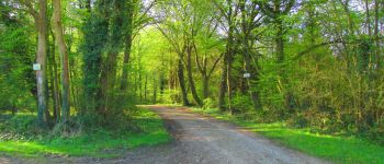
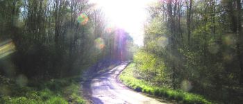
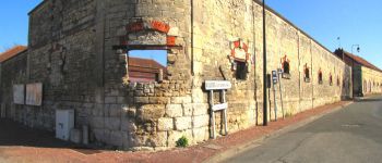
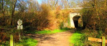
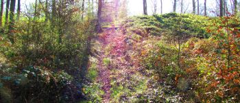
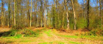
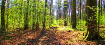
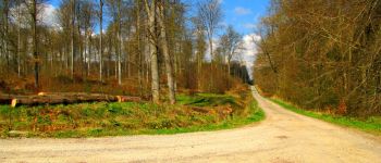
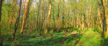
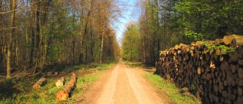
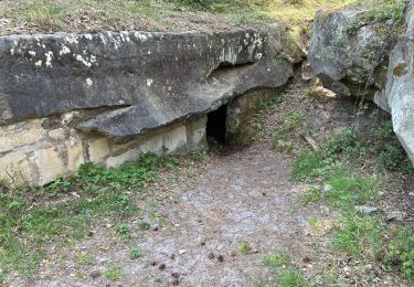
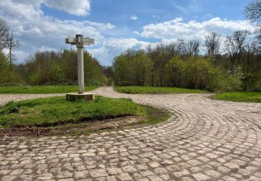
Au départ de l'église d'Ivors, suivre le chemin à droite en forêt pour prendre la laie des Biches (très difficile car chemin effacé, GPS en live obligatoire). Au carrefour entre la laie des Biches et la laie Nicolay, prendre à droite et continuer jusqu'au carrefour du taillis d'Ivors. Prendre à gauche la laie de Boursonne jusqu'au Rond des Dames puis suivre à gauche la Route Droite jusqu'à l'entrée de Le Plessis-aux-Bois. Rentrer en forêt sur la droite, longer le village puis suivre à droite la Route Tortue jusqu'au carrefour de la Chapelle. Prendre à gauche la laie des Auvergnats jusqu'au carrefour des Bons Hommes puis à droite la Route du Château.Traverser le passage à niveau de la voie ferrée et suivre le GR11 jusqu'à Coyolles. Rentrer dans Coyolles (château ...). Revenir et suivre la Route de la Queue d'Ham. Passer sous le pont de la voie ferrée, suivre le GR11 à droite. Prendre à droite un chemin qui mène au carrefour près de la D51E. Tourner à gauche et suivre la laie du Champ Familier jusqu'au carrefour de la Fontaine. Suivre à gauche la Route Droite jusqu'au carrefour avec la Route de la Queue d'Ham. Prendre à droite et suivre cette route jusqu'au carrefour des Novices. Prendre à droite la laie des Novices et rejoindre à gauche Boursonne sur la route entre Boursonne et Bilmont. Traverser Boursonne (Haras ...) et suivre la D51 en direction d'Ivors. A la sortie de Boursonne, rentrer à droite en direction du Chêne d'Ivors. Warning: pas de chemins, dénivelé et ronces. Très difficile à pratiquer. Rejoindre la laie de Saint-Georges. Prendre à gauche au carrefour avec la laie du Margenois et revenir sur Ivors en passant devant le cimetière.


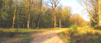
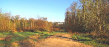
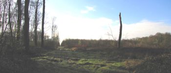
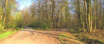
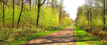
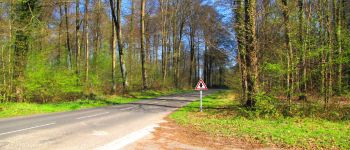
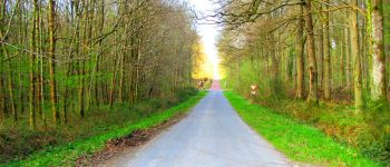
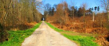
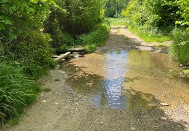
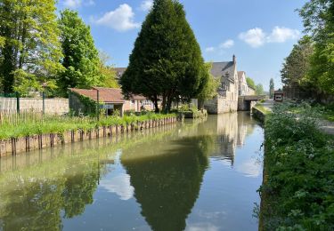
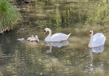
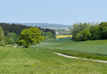
216 fotos in totaal. Klik op een foto om ze allemaal in de galerij weer te geven.
Stappen
Stappen
Mountainbike
Stappen
Stappen
Stappen
Stappen
Stappen
Stappen