


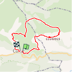

13,5 km | 17,2 km-effort


Gebruiker


Gratisgps-wandelapplicatie
 SityTrail
IGN / Geografische instituten
SityTrail World
De wereld gaat voor u open
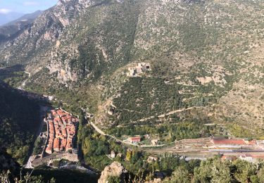
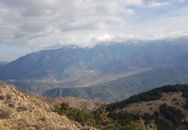
Tocht Stappen van 9,8 km beschikbaar op Occitanië, Pyrénées-Orientales, Conat. Deze tocht wordt voorgesteld door Arcy.
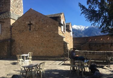
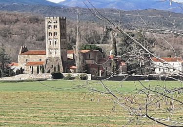
Belle rando avec des séquences très différentes. Beaux paysages.
Beaucoup de parties à découvert. Déconseiller de la faire pendant période estivale

Stappen

Motor

Mountainbike
Stappen
Stappen
Stappen
Stappen
Stappen

Stappen