


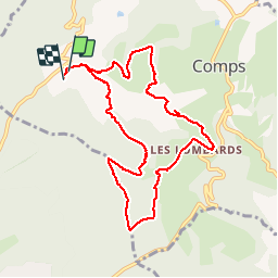


5,3 km | 7 km-effort


Gebruiker


Gratisgps-wandelapplicatie
 SityTrail
IGN / Geografische instituten
SityTrail World
De wereld gaat voor u open
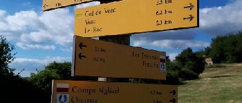
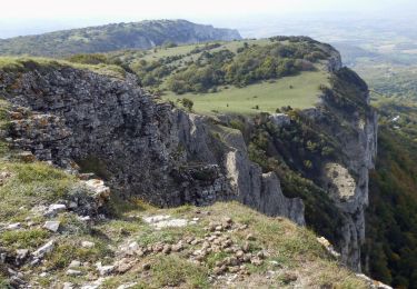
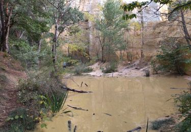
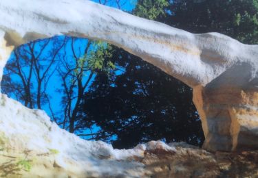
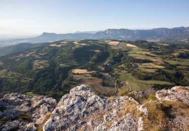
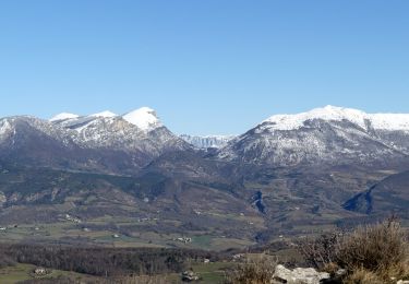
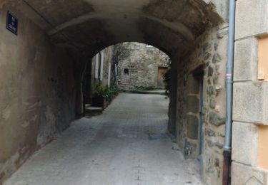
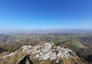
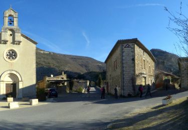
Tocht Stappen van 9,8 km beschikbaar op Auvergne-Rhône-Alpes, Drôme, Comps. Deze tocht wordt voorgesteld door rcu3824.
Bonne grimpette pour aller au col. Départ et arrivée au camping. Raccourci après église de Comps pas terrible. Prendre plutôt la route qui passe par la mairie de Comps.


Stappen
Stappen
Stappen
Stappen
Stappen
Stappen
Stappen
Stappen
Stappen