Tocht Stappen Quend - 10KmMonchauxLeColombierReconnaissance - Photo

10KmMonchauxLeColombierReconnaissance

 Robert62
Robert62

Gebruiker

© OpenStreetMap contributors
Lengte
Lengte
9,9 km
Max. hoogte
Max. hoogte
15 m
Positief hoogteverschil
39 m
Km-Effort
Km-Effort  
10,5 km
Min. hoogte
Min. hoogte
2 m
Negatief hoogteverschil
38 m
Boucle
Boucle
Ja
Datum van aanmaak :
2017-08-11 00:00:00.0
Laatste wijziging :
2017-08-11 00:00:00.0

(1 Bericht)

Stappen
Stappen
2h20
Moeilijkheid : Gemakkelijk

Scan deze QR-code om de tocht te openen in de SityTrail-applicatie

Gratisgps-wandelapplicatie

Logo SityTrail SityTrail

IGN / Geografische instituten

SityTrail uit de App Store downloaden SityTrail uit Google Play downloaden

Logo SityTrail SityTrail World

De wereld gaat voor u open

SityTrail uit de App Store downloaden SityTrail uit Google Play downloaden SityTrail op Huawei AppGallery downloaden

Over ons

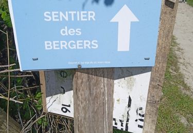
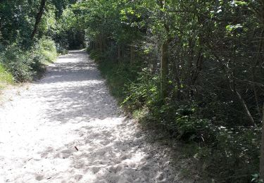
Tocht Stappen van 9,9 km beschikbaar op Hauts-de-France, Somme, Quend. Deze tocht wordt voorgesteld door Robert62.

Beschrijving

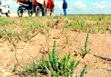
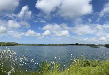
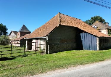
Partez à la découverte de la Côte Picarde : une balade au pays des fermes, par les champs et les prés, entre buissons et bosquets, sur des chemins bordés de rus.

Hoogteprofiel

Plaatsbepaling

Land:
France
Regio :
Hauts-de-France
Departement/Provincie :
Somme
Gemeente :
Quend
Locatie:
Unknown
Vertrek:(Dec)
Vertrek:(UTM)
400520 ; 5574990 (31U) N.

Opmerkingen

Gelieve in te loggen om een commentaar of een beoordeling achter te laten


rando facile en terrain plat


Wandeltochten in de omgeving

Tocht Stappen Quend - Le Colombier - Photo
Stappen
tracegps

Stappen

Moeilijk
(2)
Quend, Hauts-de-France, Somme, France
9,9 km | 10,5 km-effort
3h 19min
Ja
Tocht Stappen Saint-Quentin-en-Tourmont - Les crocs - Saint Quentin en Tourmont - Photo
Stappen
tracegps

Stappen

Moeilijk
(4)
Saint-Quentin-en-Tourmont, Hauts-de-France, Somme, France
15,8 km | 16,9 km-effort
5h 30min
Ja
Tocht Stappen Fort-Mahon-Plage - La dune de Royon - Photo
Stappen
tracegps

Stappen

Medium
(1)
Fort-Mahon-Plage, Hauts-de-France, Somme, France
4,1 km | 4,5 km-effort
1h 30min
Ja
Tocht Elektrische fiets Fort-Mahon-Plage - Tour de la baie D’Authie - Photo
Elektrische fiets
Boubby

Elektrische fiets

Fort-Mahon-Plage, Hauts-de-France, Somme, France
50 km | 53 km-effort
3h 57min
Ja
Tocht Stappen Quend - dixk-mônchaux - Photo
Stappen
Robert62

Stappen

Medium
Quend, Hauts-de-France, Somme, France
11,4 km | 12 km-effort
2h 17min
Neen
Tocht Stappen Fort-Mahon-Plage -   les CROCS -SAINT QUENTIN EN TOURMONT - Photo
Stappen
Edgard

Stappen

Zeer moeilijk
Fort-Mahon-Plage, Hauts-de-France, Somme, France
23 km | 24 km-effort
3h 32min
Neen
Tocht Te voet Quend - Le Colombier - Photo
Te voet
PRO

Te voet

Gemakkelijk
Quend, Hauts-de-France, Somme, France
9,9 km | 10,4 km-effort
2h 22min
Ja
Tocht Te voet  - Les Crocs - Photo
Te voet
PRO

Te voet

Gemakkelijk
, , , France
16,1 km | 17,1 km-effort
3h 53min
Ja
Tocht Stappen Saint-Quentin-en-Tourmont - chemin du littoral  - Photo
Stappen
Luc Gengoux

Stappen

Medium
Saint-Quentin-en-Tourmont, Hauts-de-France, Somme, France
6,5 km | 7,3 km-effort
2h 13min
Ja


Sluiten
Mijn abonnementen