


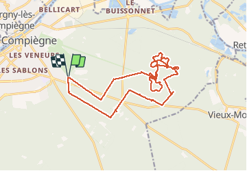


9,6 km | 12,8 km-effort
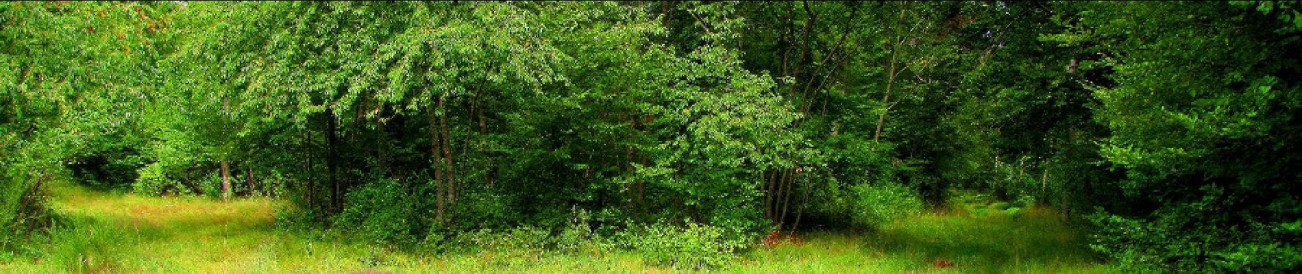

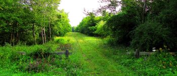
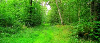
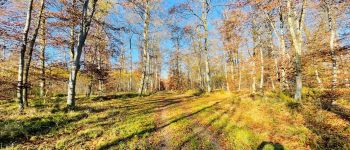
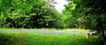
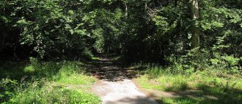
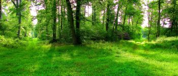
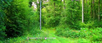
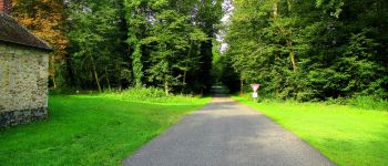
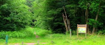
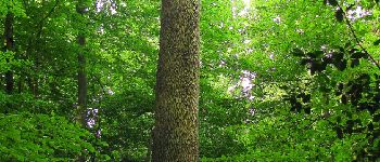
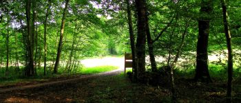
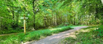
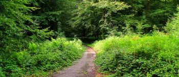
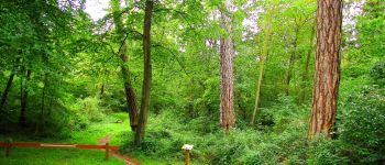
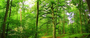
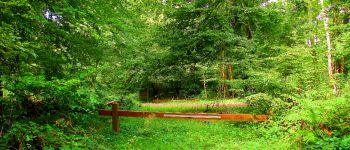
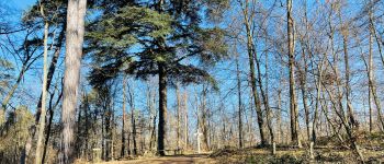
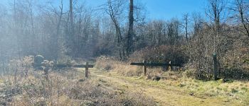
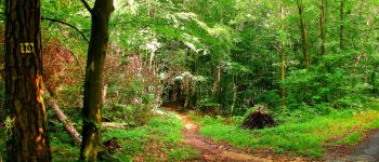
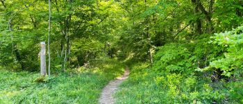
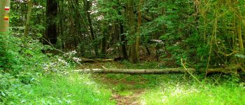
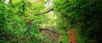
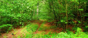
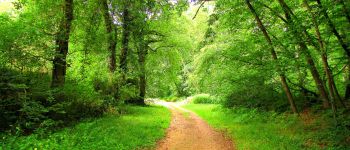
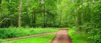
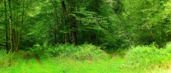
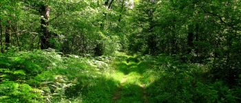
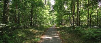
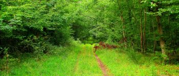
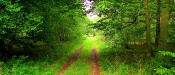
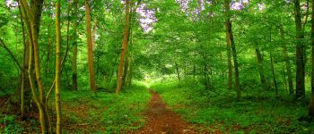
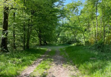
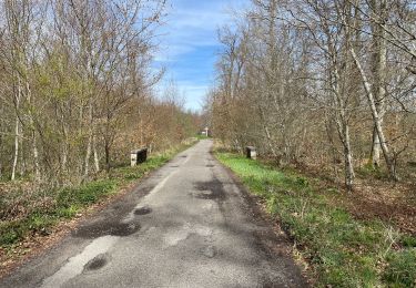
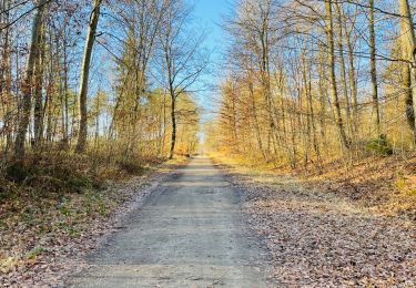
mes randos en forêt


Gratisgps-wandelapplicatie
 SityTrail
IGN / Geografische instituten
SityTrail World
De wereld gaat voor u open
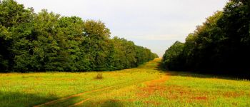
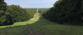
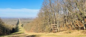
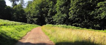
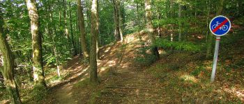
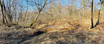
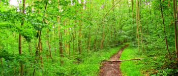
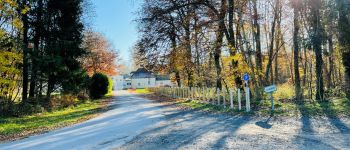
Tocht Stappen van 20 km beschikbaar op Hauts-de-France, Oise, Compiègne. Deze tocht wordt voorgesteld door en forêt de Compiègne.
08/ 2017
voir aussi:
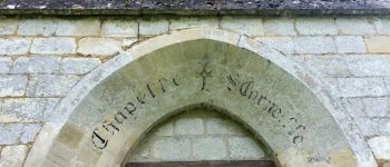
http://foret-de-retz.over-blog.com/
batterie de rechange pour iphone indispensable.
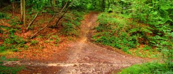
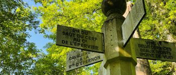
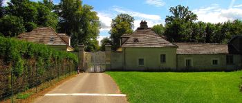
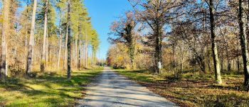
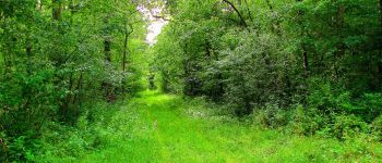
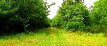
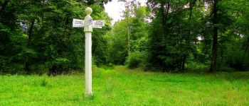
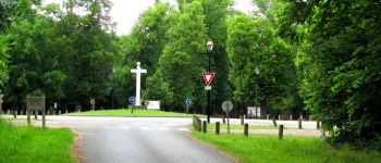
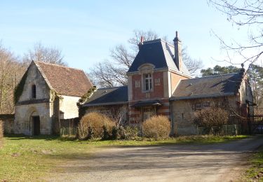
au départ du carrefour Royal, suivre la route de la Faisanderie jusqu'au carrefour avec la route du Carandeau. Continuer à gauche cette route jusqu'au carrefour Victoire. Prendre à droite le chemin qui mène à la maison forestière des Vineux et continuer jusqu'au carrefour du Tréan. Remonter l'avenue des Beaux Monts jusqu'au Belvédère. Prendre à droite la route Eugénie et revenir au Belvédère. Redescendre l'avenue des Beaux Monts puis suivre à droite le sentier (promenade des points de vue des Beaux Monts) en remontant au Belvédère.Suivre à gauche la route des Près (pins greffés et cèdre Marie-Louise à côté) et continuer jusqu'à l'intersection avec la route forestière des Beaux Monts. Prendre à gauche le sentier jusqu'au carrefour du Liban puis remonter en suivant la route qui mène au carrefour du Liban et redescendre au carrefour du Précipice de l'Ortille. Descendre sur le GR12A et prendre à droite le sentier qui mène au carrefour de l'Envers des Beaux Monts. Suivre à gauche la route du Saut du Cerf (?) jusqu'au carrefour avec la route de Morpigny. Continuer à gauche cette route jusqu'au carrefour du Gouverneur. Prendre à droite la route de Saint-Pierre jusqu'à la maison forestière de Sainte-Corneille. Continuer sur la route de Sainte-Corneille jusqu'au carrefour avec la route de Berne. Suivre à gauche cette route jusqu'au carrefour avec la route d'Humières. Prendre à droite la route d'Humières jusqu'au carrefour du Guet du Nid. Suivre à droite le GR655 pour revenir au carrefour Royal.


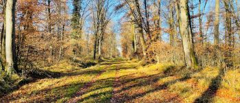
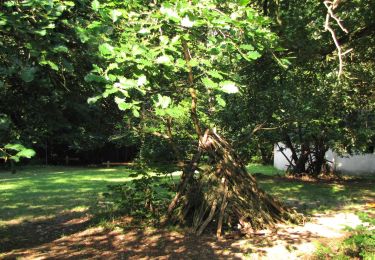
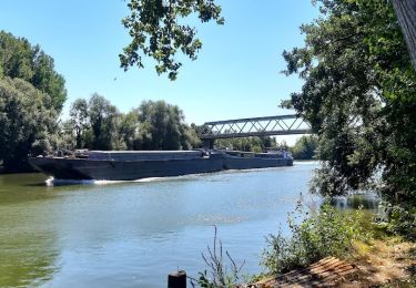
166 fotos in totaal. Klik op een foto om ze allemaal in de galerij weer te geven.
Stappen

Stappen
Stappen
Stappen

Stappen

Stappen
Stappen
Te voet