11,7 km | 16,3 km-effort
beduer espagnac
yves12
Gebruiker
Lengte
17,8 km
Max. hoogte
408 m
Positief hoogteverschil
432 m
Km-Effort
24 km
Min. hoogte
169 m
Negatief hoogteverschil
434 m
Boucle
Ja
Datum van aanmaak :
2018-04-17 11:01:35.643
Laatste wijziging :
2018-04-17 11:01:35.643
4h44
Moeilijkheid : Gemakkelijk
Gratisgps-wandelapplicatie
Over ons
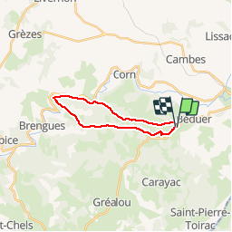
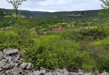
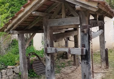
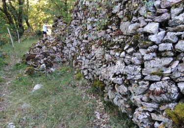
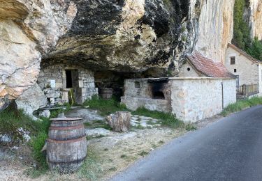
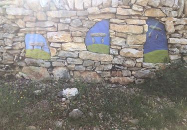
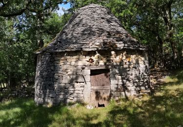
Tocht Stappen van 17,8 km beschikbaar op Occitanië, Lot, Béduer. Deze tocht wordt voorgesteld door yves12.
Plaatsbepaling
Land:
France
Regio :
Occitanië
Departement/Provincie :
Lot
Gemeente :
Béduer
Locatie:
Unknown
Vertrek:(Dec)
Vertrek:(UTM)
415467 ; 4936523 (31T) N.
Opmerkingen
Wandeltochten in de omgeving
Le causse par lacoste
Stappen
Heel gemakkelijk
(1)
Corn,
Occitanië,
Lot,
France
8,4 km | 11,7 km-effort
2h 38min
Ja
Sainte Eulalie Crayssac
Stappen
Heel gemakkelijk
Corn,
Occitanië,
Lot,
France
11,7 km | 16,6 km-effort
3h 31min
Ja
Corn Mas de Léret
Stappen
Heel gemakkelijk
Corn,
Occitanië,
Lot,
France
4,1 km | 5,8 km-effort
1h 43min
Ja
La Cazelle-Camburat-Mouret-La Cazelle
Paard
Gemakkelijk
(1)
Lissac-et-Mouret,
Occitanië,
Lot,
France
13,9 km | 17,5 km-effort
2h 43min
Ja
20240419 Les Ânes du Célé à ferme Cazals
sport
Heel gemakkelijk
Espagnac-Sainte-Eulalie,
Occitanië,
Lot,
France
21 km | 29 km-effort
Onbekend
Neen
Gréalou à Larnagol
Stappen
Zeer moeilijk
Gréalou,
Occitanië,
Lot,
France
19,5 km | 24 km-effort
6h 51min
Neen
beduer crayssac
Mountainbike
Gemakkelijk
Corn,
Occitanië,
Lot,
France
15,7 km | 21 km-effort
1h 54min
Ja