


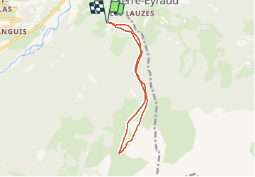

6,3 km | 9,9 km-effort


Gebruiker


Gratisgps-wandelapplicatie
 SityTrail
IGN / Geografische instituten
SityTrail World
De wereld gaat voor u open
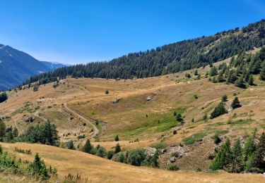
Tocht Sneeuwschoenen van 6,3 km beschikbaar op Provence-Alpes-Côte d'Azur, Hautes-Alpes, Saint-Jean-Saint-Nicolas. Deze tocht wordt voorgesteld door Orage.
Sortie ski de rando
Clot Davin, bois de la Marinière, Cabane de l'Aupette, Font Génique retour Clot Davin
Stappen

Stappen
Stappen

Stappen
Stappen
Stappen

Sneeuwschoenen
Stappen
Stappen