


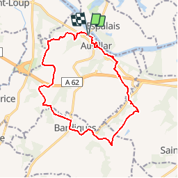

10,5 km | 12,7 km-effort


Gebruiker


Gratisgps-wandelapplicatie
 SityTrail
IGN / Geografische instituten
SityTrail World
De wereld gaat voor u open
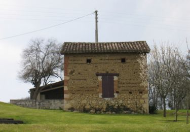
Tocht Stappen van 16,5 km beschikbaar op Occitanië, Tarn-et-Garonne, Auvillar. Deze tocht wordt voorgesteld door pidjam.
Marche autour d'Auvillar (pas mal de routes mais ça reste très agréable)

sport
sport
Stappen
Stappen
Stappen

sport
sport
Stappen
Mountainbike