


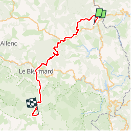

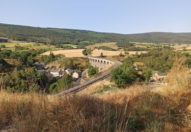
33 km | 46 km-effort


Gebruiker


Gratisgps-wandelapplicatie
 SityTrail
IGN / Geografische instituten
SityTrail World
De wereld gaat voor u open
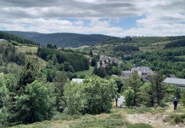
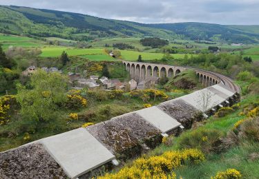
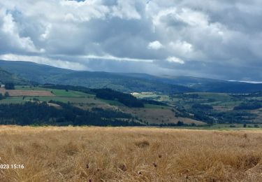
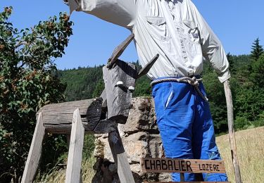
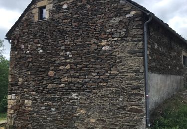
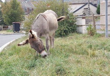
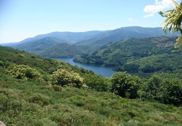
Tocht Mountainbike van 45 km beschikbaar op Occitanië, Lozère, La Bastide-Puylaurent. Deze tocht wordt voorgesteld door nicolas54230.

Stappen
Stappen
Stappen
Stappen
Stappen
Stappen
Stappen
Mountainbike
Stappen