


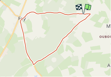

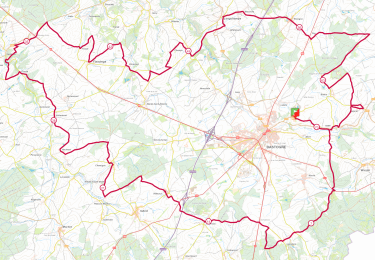
11,7 km | 13,9 km-effort

Tous les sentiers balisés d’Europe GUIDE+


Kostenlosegpshiking-Anwendung
 SityTrail
IGN / Geografische Institute
SityTrail World
Die Welt öffnet sich für Sie
Tour Zu Fuß von 7,9 km verfügbar auf Wallonien, Luxemburg, Bastnach. Diese Tour wird von SityTrail - itinéraires balisés pédestres vorgeschlagen.
Trail created by Syndicat d'Iniative de Bastogne.
Symbol: Losange vert


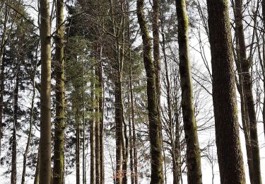
Wandern
Wandern
Wandern

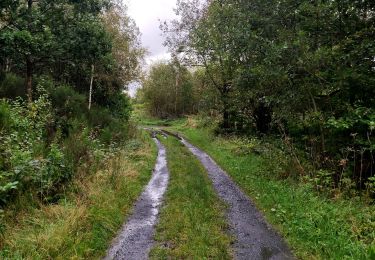
Zu Fuß

Zu Fuß
Zu Fuß

Zu Fuß
Zu Fuß
Wandern
Mooie wandeling maar veel over de weg. Dat is jammer