


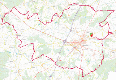
11,7 km | 13,9 km-effort

Tous les sentiers balisés d’Europe PRO


Application GPS de randonnée GRATUITE
 SityTrail
IGN / Instituts géographiques
SityTrail World
Le monde est à vous
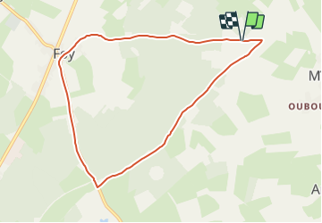
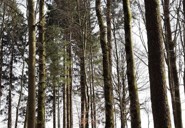
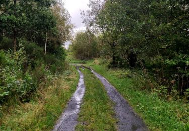
Randonnée A pied de 7,9 km à découvrir à Wallonie, Luxembourg, Bastogne. Cette randonnée est proposée par SityTrail - itinéraires balisés pédestres.
Randonnée créée par Syndicat d'Iniative de Bastogne.
Symbole: Losange vert


Marche
Marche
Marche

A pied

A pied
A pied

A pied
A pied
Marche
Mooie wandeling maar veel over de weg. Dat is jammer