


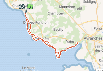

6,7 km | 8,6 km-effort


Benutzer


Kostenlosegpshiking-Anwendung
 SityTrail
IGN / Geografische Institute
SityTrail World
Die Welt öffnet sich für Sie
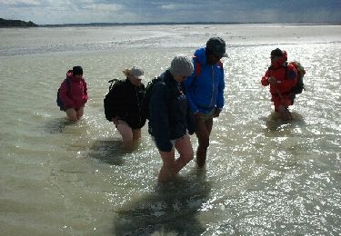
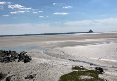
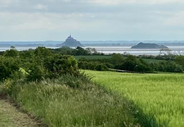
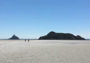
Tour Pferd von 38 km verfügbar auf Normandie, Manche, Saint-Jean-le-Thomas. Diese Tour wird von dcarreau vorgeschlagen.
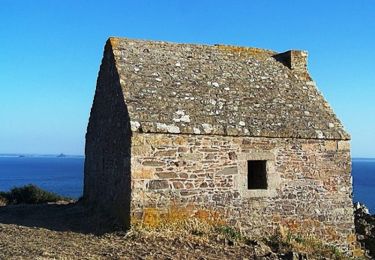
Wandern
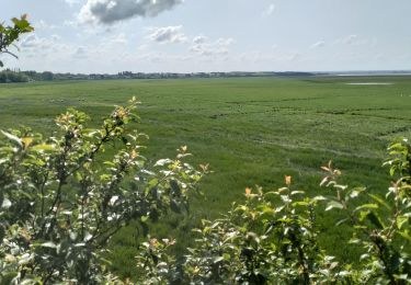
Wandern
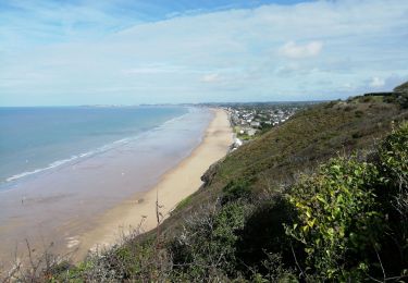
Wandern

Wandern
Wandern
Wandern
Wandern
Wandern