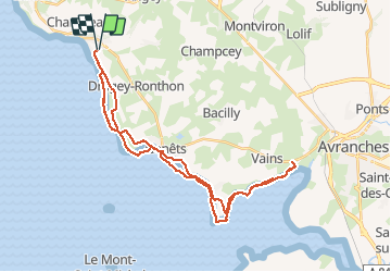
6,7 km | 8,6 km-effort
Baie du Mont St Michel
dcarreau
Gebruiker
Lengte
38 km
Max. hoogte
25 m
Positief hoogteverschil
179 m
Km-Effort
41 km
Min. hoogte
0 m
Negatief hoogteverschil
179 m
Boucle
Ja
Datum van aanmaak :
2015-08-07 00:00:00.0
Laatste wijziging :
2015-08-07 00:00:00.0
5h53
Moeilijkheid : Moeilijk
Gratisgps-wandelapplicatie
Over ons
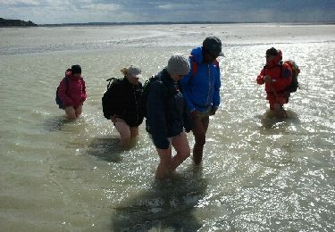
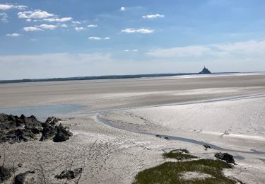
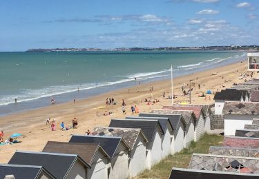
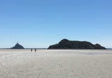
Tocht Paard van 38 km beschikbaar op Normandië, Manche, Saint-Jean-le-Thomas. Deze tocht wordt voorgesteld door dcarreau.
Plaatsbepaling
Land:
France
Regio :
Normandië
Departement/Provincie :
Manche
Gemeente :
Saint-Jean-le-Thomas
Locatie:
Unknown
Vertrek:(Dec)
Vertrek:(UTM)
608879 ; 5398145 (30U) N.
Opmerkingen
Wandeltochten in de omgeving
50-genets-11km
Stappen
Medium
Genêts,
Normandië,
Manche,
France
10,7 km | 11,7 km-effort
2h 39min
Ja
Falaises de Carolles
Stappen
Heel gemakkelijk
Carolles,
Normandië,
Manche,
France
4,1 km | 5,4 km-effort
1h 6min
Ja
genets 3 juin 2017
Stappen
Gemakkelijk
(2)
Genêts,
Normandië,
Manche,
France
13 km | 14,2 km-effort
3h 8min
Ja
La Baie du Mont Saint Michel
Stappen
Medium
Genêts,
Normandië,
Manche,
France
13,1 km | 13,3 km-effort
3h 3min
Ja
Genêts - la pointe du groin sud
Stappen
Gemakkelijk
Genêts,
Normandië,
Manche,
France
11,9 km | 12,9 km-effort
3h 26min
Ja
Le Bec d’Andaine
Stappen
Gemakkelijk
Dragey-Ronthon,
Normandië,
Manche,
France
10,2 km | 11,2 km-effort
3h 1min
Ja
Baie Mont Saint Michel
Stappen
Gemakkelijk
Genêts,
Normandië,
Manche,
France
13,1 km | 13,3 km-effort
3h 0min
Ja