


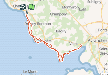

6.7 km | 8.6 km-effort


User


FREE GPS app for hiking
 SityTrail
IGN / Geographical institutes
SityTrail World
The world is yours!
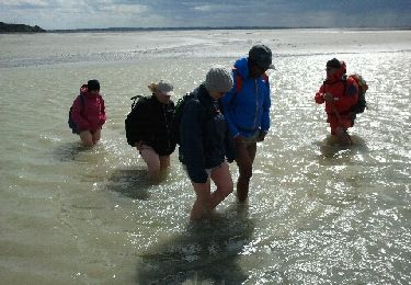
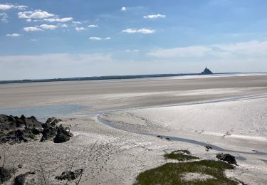
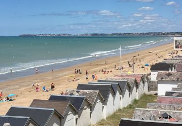
Trail Equestrian of 38 km to be discovered at Normandy, Manche, Saint-Jean-le-Thomas. This trail is proposed by dcarreau.
Walking
Walking
Walking

Walking
Walking
Walking

Walking

Walking