


12.2 km | 28 km-effort
Le Haut-Bréda: Discover the best trails: 3 on foot, 125 walking, 1 nordic walking, 3 running and 2 trail. All these trails, routes and outdoor activities are available in our SityTrail applications for smartphones and tablets.
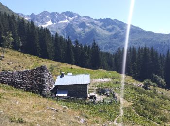
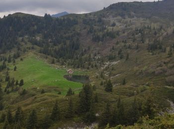
Walking


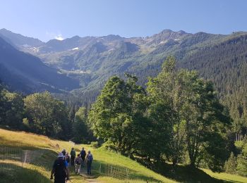
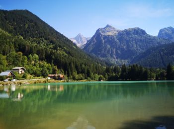
Walking
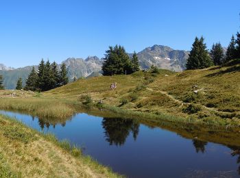
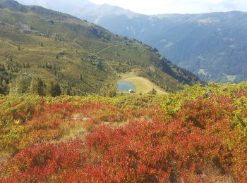
Walking
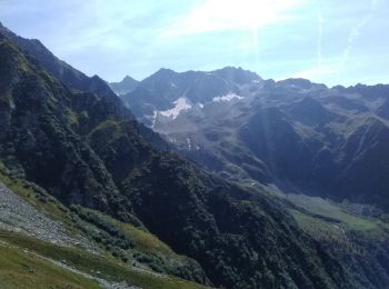
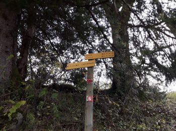
Walking
Walking

Walking
Walking
On foot
Walking
Walking
Walking

Walking
Walking
Walking
Walking
Walking
Walking
Walking

Walking
Walking
20 trails displayed on 134
FREE GPS app for hiking
 SityTrail
IGN / Geographical institutes
SityTrail World
The world is yours!