


17.3 km | 21 km-effort
Saint-Benoît: Discover the best trails: 74 walking, 1 trail and 2 on foot. All these trails, routes and outdoor activities are available in our SityTrail applications for smartphones and tablets.
Walking


Walking
Walking

Walking
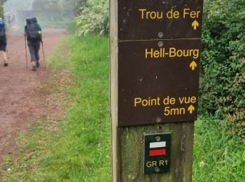
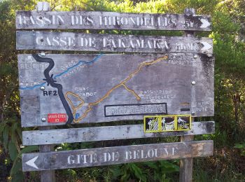
• sentier forêt bebour /belouve

Walking
• sentier forêt bebour /belouve
Walking
• Boucle du Grand Étang en passant par la cascade du Bras d'Annette. Circuit assez boueux comme beaucoup de circuit de ...

Walking
• Balade dans les sous-bois du secteur de la Confiance. Le terrain retour est assez gras après des pluies dans la Régio...
Walking
Walking
On foot

Walking

Walking
Walking

Walking
Walking
Walking
Walking

Walking
Walking

Walking
20 trails displayed on 77
FREE GPS app for hiking
 SityTrail
IGN / Geographical institutes
SityTrail World
The world is yours!