


22 km | 30 km-effort
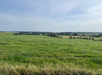
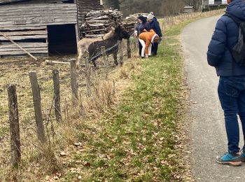
Bertogne: Discover the best trails: 96 hiking trails, 37 bike and mountain-bike routes and 3 equestrian circuits. All these trails, routes and outdoor activities are available in our SityTrail applications for smartphones and tablets.
Walking


• Tronçon 4 de la Boucle "Des profondeurs de la forêt aux paysages de plateau" (98 Km).Tout en étant l''étape la plus l...
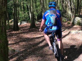
Mountain bike
• Trail created by Cœur de l'Ardenne, au fil de l'Ourthe & de l'Aisne.
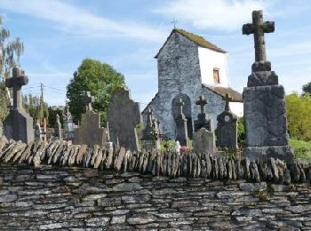
On foot
• Trail created by Pays de Bastogne.

On foot
• Trail created by Pays de Bastogne.

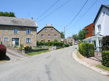
On foot
• Trail created by Pays de Bastogne.
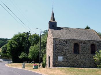
On foot
• Trail created by Pays de Bastogne.
On foot
• Trail created by Pays de Bastogne.

On foot
• Trail created by Pays de Bastogne.

On foot
• Trail created by Pays de Bastogne.

On foot
• Trail created by Pays de Bastogne.
On foot
• Trail created by Pays de Bastogne.

On foot
• Trail created by Pays de Bastogne.
On foot
• Trail created by Pays de Bastogne.

On foot
• Trail created by Pays de Bastogne.
On foot
• Trail created by Pays de Bastogne.

On foot
• Trail created by Pays de Bastogne.

Mountain bike

Walking
Walking
Walking
20 trails displayed on 142
FREE GPS app for hiking
 SityTrail
IGN / Geographical institutes
SityTrail World
The world is yours!