


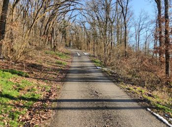
10.8 km | 13.8 km-effort
Hastière: Discover the best trails: 196 hiking trails, 32 bike and mountain-bike routes and 1 equestrian circuits. All these trails, routes and outdoor activities are available in our SityTrail applications for smartphones and tablets.
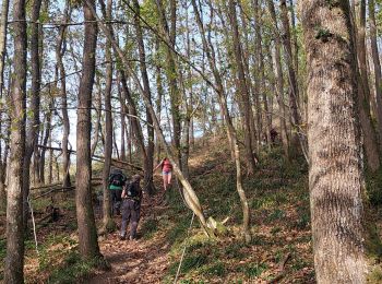
Walking


Walking
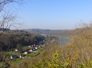
• Hastière – Blaimont – Waulsort – Hastière Attention! Cet itinéraire est seulement praticable du 1er avril au 30 sept...
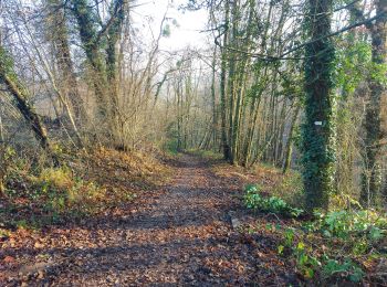
Walking
• Hastière – Blaimont – Waulsort – Hastière Attention! Cet itinéraire est seulement praticable du 1er avril au 30 sep...
Walking
• Hastière – Blaimont – Falmignoul – Waulsort – Hastière Attention! Cet itinéraire est seulement praticable du 1er avr...
Walking
•
Walking
Walking
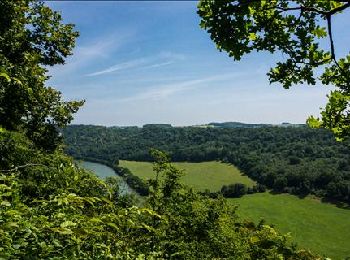
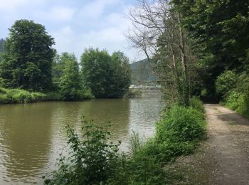
• Balade dans la pittoresque et sauvage vallée de l'Hermeton, de Hastière au village de Hermeton.
Walking
Walking
Walking
On foot
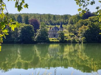
• Trail created by Vallée de la Meuse Namur-Dinant. This 4.5 km walk will let you to have a look at the site of the...

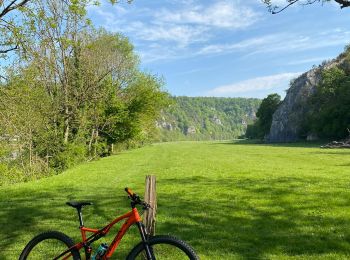
Mountain bike
• Trail created by Vallée de la Meuse Namur-Dinant.
Mountain bike
• Trail created by Vallée de la Meuse Namur-Dinant.
Mountain bike
• Trail created by Vallée de la Meuse Namur-Dinant.
Mountain bike
• Trail created by Vallée de la Meuse Namur-Dinant.

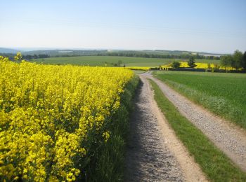
Walking
Walking
Walking
Walking
Walking
20 trails displayed on 237
FREE GPS app for hiking
 SityTrail
IGN / Geographical institutes
SityTrail World
The world is yours!