


3.8 km | 12.5 km-effort
Mollens (VS): Discover the best trails: 10 hiking trails and 1 bike and mountain-bike routes. All these trails, routes and outdoor activities are available in our SityTrail applications for smartphones and tablets.
On foot


• Montagne du Plan - Trubelstock

Other activity
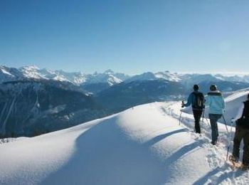
Snowshoes
Mountain bike

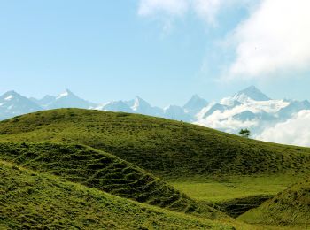
Walking
Nordic walking
Walking
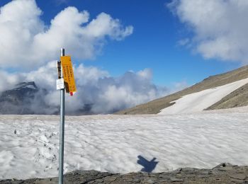
• Attention passage difficile Pas du Chasseur
Walking
Walking

Winter sports
Winter sports
Winter sports
•

Other activity
•

Running
Other activity
Walking
Walking
Walking
18 trails displayed on 18
FREE GPS app for hiking
 SityTrail
IGN / Geographical institutes
SityTrail World
The world is yours!