


14.8 km | 19.4 km-effort
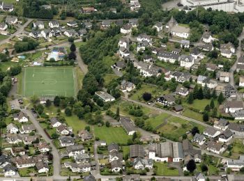
Meschede: Discover the best trails: 42 hiking trails. All these trails, routes and outdoor activities are available in our SityTrail applications for smartphones and tablets.
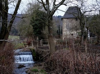
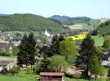
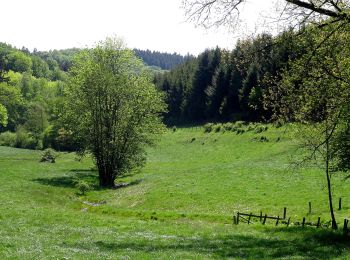
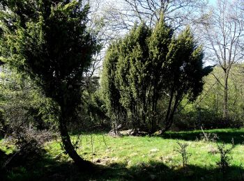
On foot


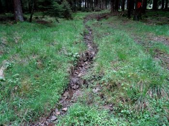
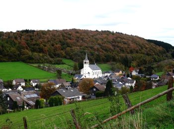
• Trail created by Sauerländischer Gebirgsverein.
On foot
• Trail created by Sauerländischer Gebirgsverein.
On foot
• Trail created by Sauerländischer Gebirgsverein.

On foot
• Trail created by Sauerländischer Gebirgsverein.
On foot
• Trail created by Sauerländischer Gebirgsverein.

On foot
• Trail created by Sauerländischer Gebirgsverein.
On foot
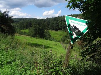
• Trail created by Sauerländischer Gebirgsverein (SGV). Symbol: weißes H auf schwarzem Grund
On foot
• Trail created by Sauerländischer Gebirgsverein.
On foot
• Trail created by Sauerländischer Gebirgsverein.
On foot
• Trail created by Sauerländischer Gebirgsverein.

On foot
• Trail created by Sauerländischer Gebirgsverein.
On foot
• Trail created by Sauerländischer Gebirgsverein (SGV). Wegzeichen ohne Kreis drum herum (auch wenn es im NRW Atlas an...
On foot
• Trail created by Sauerländischer Gebirgsverein.
On foot
• Trail created by Sauerländischer Gebirgsverein.
On foot
• Trail created by Sauerländischer Gebirgsverein.
On foot
• Trail created by Sauerländischer Gebirgsverein.
On foot
• Trail created by Sauerländischer Gebirgsverein.
On foot
• Trail created by Sauerländischer Gebirgsverein.
On foot
• Trail created by Sauerländischer Gebirgsverein.
On foot
• Trail created by Sauerländischer Gebirgsverein.
20 trails displayed on 42
FREE GPS app for hiking
 SityTrail
IGN / Geographical institutes
SityTrail World
The world is yours!