Taillefontaine, Aisne: Best trails, routes and walks

Taillefontaine: Discover the best trails: 2 hiking trails. All these trails, routes and outdoor activities are available in our SityTrail applications for smartphones and tablets.


The best trails (2)

Trail Walking Taillefontaine - en foret de Retz_50_MF La Croix Morel_les Hauts de Retz_ancienne voie ferrée_AR - Photo
Walking 26.823
Km

Walking

Very difficult
Taillefontaine, Hauts-de-France, Aisne, France
27 km | 34 km-effort
7h 26min
523 m
528 m
Yes
en forêt de Retz

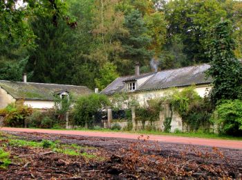
• voir aussi: http://foret-de-retz.over-blog.com/ 12/ 2016 batterie pour iphone indispensable. Au départ de la maiso...

Trail Walking Taillefontaine - en forêt de Retz_44_laie des pots_2 - Photo
Walking 17.886
Km

Walking

Very difficult
Taillefontaine, Hauts-de-France, Aisne, France
17.9 km | 21 km-effort
5h 35min
243 m
239 m
No
en forêt de Retz

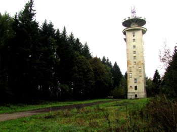
• voir aussi: http://foret-de-retz.over-blog.com/ 04/2016 objectif: relever les coordonnées GPS de regards à porte de...

2 trails displayed on 2

FREE GPS app for hiking

Logo SityTrail SityTrail

IGN / Geographical institutes

Download SityTrail from the App Store Download SityTrail from Google Play

Logo SityTrail SityTrail World

The world is yours!

Download SityTrail from the App Store Download SityTrail from Google Play Download SityTrail on Huawei AppGallery

Activities

Close
My subscriptions