


18.3 km | 0 m-effort
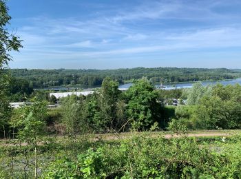
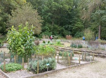
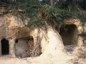
Chamouille: Discover the best trails: 11 hiking trails and 3 bike and mountain-bike routes. All these trails, routes and outdoor activities are available in our SityTrail applications for smartphones and tablets.
Walking


Nordic walking
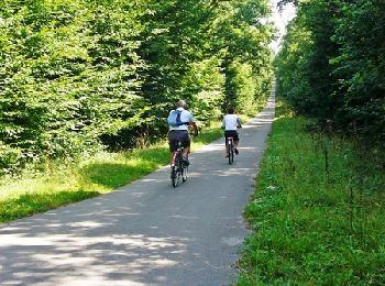
Mountain bike

Walking
Walking
Walking

Walking
• 30/09/17

Cycle
• More information on GPStracks.nl : http://www.gpstracks.nl

Other activity
• Aile
Walking
Walking
Walking
Walking
Mountain bike
Walking
Other activity
16 trails displayed on 16
FREE GPS app for hiking
 SityTrail
IGN / Geographical institutes
SityTrail World
The world is yours!