


10.8 km | 13.4 km-effort

User

FREE GPS app for hiking
 SityTrail
IGN / Geographical institutes
SityTrail World
The world is yours!
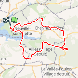
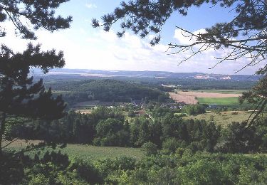
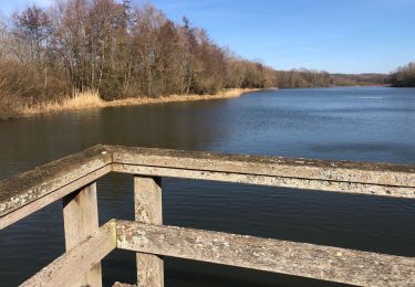
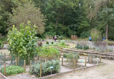
Trail Walking of 18.3 km to be discovered at Hauts-de-France, Aisne, Chamouille. This trail is proposed by gaudea.
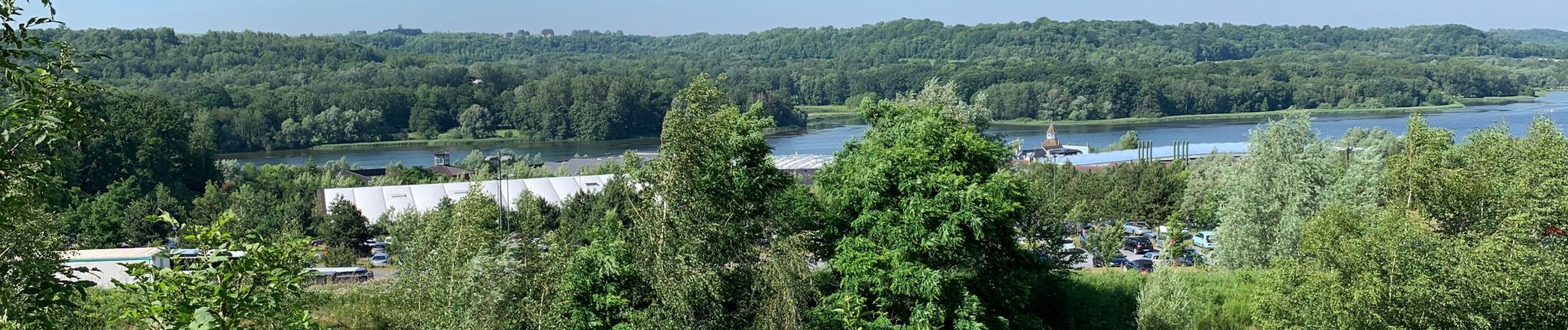
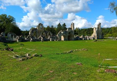
Départ du center parcs vallée de chamouille passage à l’abbaye de Vauclerc
Circuit randonner.fr avec variante


Walking
Walking
Walking
Walking
Walking
Nordic walking

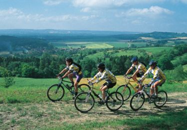
Mountain bike

Walking
Mountain bike