


36 km | 50 km-effort
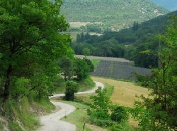
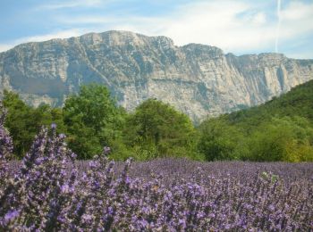
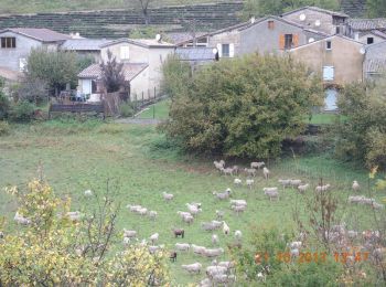
Chamaloc: Discover the best trails: 55 hiking trails, 9 bike and mountain-bike routes and 1 equestrian circuits. All these trails, routes and outdoor activities are available in our SityTrail applications for smartphones and tablets.
Mountain bike


Walking
Walking
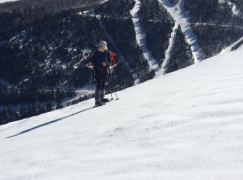
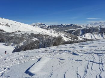
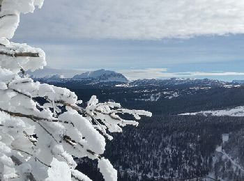
Snowshoes
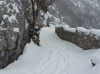
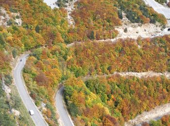
• 14/02/2019 départ sud du tunnel du Rousset la traversée du pierrier au départ est délicate
Walking

Walking
• 14/02/2019 départ sud du tunnel du Rousset la traversée du pierrier au départ est délicate
Walking
Walking
• 14/02/2019 départ sud du tunnel du Rousset la traversée du pierrier au départ est délicate
Walking
Walking
Nordic walking

Walking
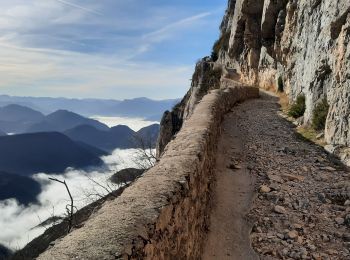
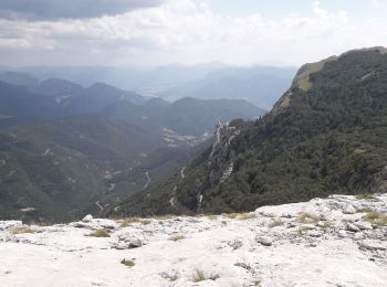
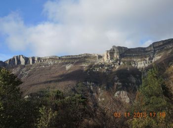
• Belle rando au départ du tunnel du Rousset, côté Die. Superbes points de vue. Pas de difficultés techniques.
Nordic walking
Nordic walking
Mountain bike
Walking
Walking

Cross-country skiing
• Départ tunnel du Rousset et traversée délicate du pierrier au-dessus
Walking
Walking
20 trails displayed on 69
FREE GPS app for hiking
 SityTrail
IGN / Geographical institutes
SityTrail World
The world is yours!