


6.9 km | 11.1 km-effort


User


FREE GPS app for hiking
 SityTrail
IGN / Geographical institutes
SityTrail World
The world is yours!
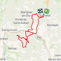
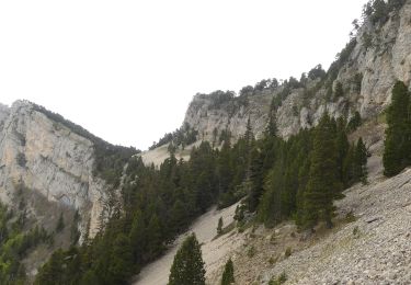
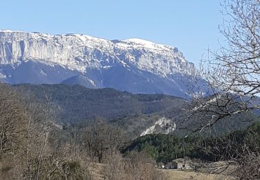
Trail Mountain bike of 36 km to be discovered at Auvergne-Rhône-Alpes, Drôme, Chamaloc. This trail is proposed by tracegps.
Départ de Chamaloc, dans le col du Rousset, descente par Marignac, la bute de l'Aiglette dans le viseur, ça monte puis redescendre par le col de Barsac... Attention 1000 de D


Nordic walking
Walking

Walking
Walking
Walking
Walking
Walking
Walking
Walking
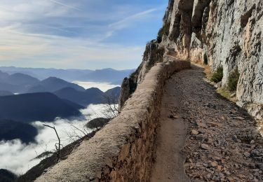
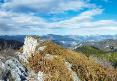
Super randonnée....