


25 km | 36 km-effort
Corrençon-en-Vercors: Discover the best trails: 187 hiking trails, 38 bike and mountain-bike routes and 4 equestrian circuits. All these trails, routes and outdoor activities are available in our SityTrail applications for smartphones and tablets.

Mountain bike


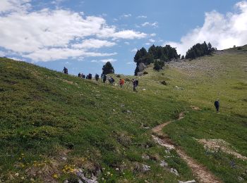
Walking
Walking
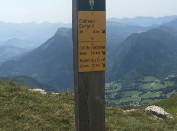
Walking
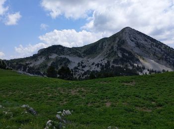
Walking
Walking
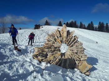
Snowshoes
Walking
Walking
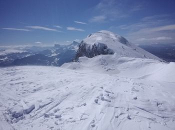
Touring skiing
Walking
Snowshoes
Walking
Walking
Walking
Snowshoes
Walking
• Belle boucle. La montée par la Combe du Souillet est agréable et ombragée. Sentier tracé jusqu'à la cabane de la comb...
Snowshoes
• Boucle sympa essentiellement en foret. Enchaînement des circuits 6+2+6: Corrençon, Carrefour de la Glacière, Sapin Be...
Walking
• Belle boucle, avec de la neige à partir de 1300 m malgré l'époque (5 Mai 2017). Montée à la Combe de Fer: Bon sentier...
Walking
20 trails displayed on 292
FREE GPS app for hiking
 SityTrail
IGN / Geographical institutes
SityTrail World
The world is yours!