


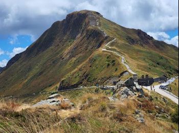
17.3 km | 25 km-effort
Le Claux: Discover the best trails: 53 hiking trails, 3 bike and mountain-bike routes and 12 equestrian circuits. All these trails, routes and outdoor activities are available in our SityTrail applications for smartphones and tablets.
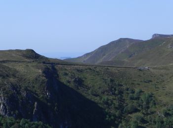
On foot


• Trail created by Grand Site du Puy Mary. Symbol: Vert
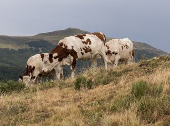
On foot
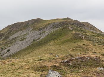
On foot
• Trail created by Grand Site du Puy Mary. Symbol: Vert
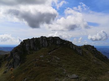
Walking
Walking
Walking
Walking
Walking
Walking
Walking
Walking
Walking
Walking
Walking
Walking
Walking

Walking
Walking

Horseback riding

Walking
20 trails displayed on 73
FREE GPS app for hiking
 SityTrail
IGN / Geographical institutes
SityTrail World
The world is yours!