


3.7 km | 10.7 km-effort
Le Bouchet-Mont-Charvin: Discover the best trails: 42 hiking trails and 1 bike and mountain-bike routes. All these trails, routes and outdoor activities are available in our SityTrail applications for smartphones and tablets.

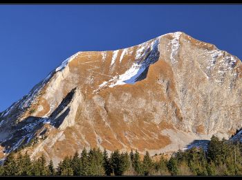
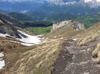
Walking


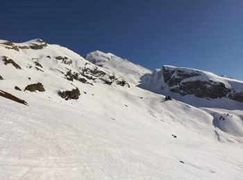
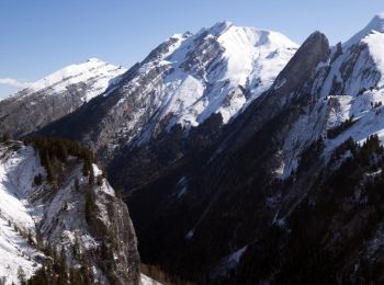
Touring skiing
Walking

Walking
Walking
Mountain bike
Walking
Walking
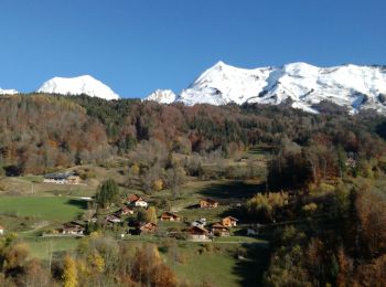
• Belle boucle traversant des paysages variés et offrant de beaux panoramas.

Touring skiing
Walking

Snowshoes
Walking
Walking
Snowshoes

Nordic walking
Walking
Walking
Walking
Walking
Nordic walking
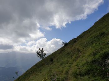
• Circuit sous La Tulle
20 trails displayed on 59
FREE GPS app for hiking
 SityTrail
IGN / Geographical institutes
SityTrail World
The world is yours!