


3,7 km | 10,7 km-effort
Le Bouchet-Mont-Charvin: Descubra las mejores excursiones: 42 a pie y 1 en bici o bici de montaña. Todos estos circuitos, recorridos, itinerarios y actividades al aire libre están disponibles en nuestras aplicaciones SityTrail para smartphone y tablet.

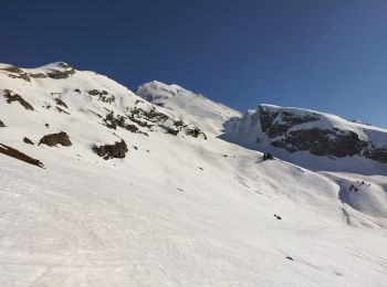
Senderismo


Esquí de fondo
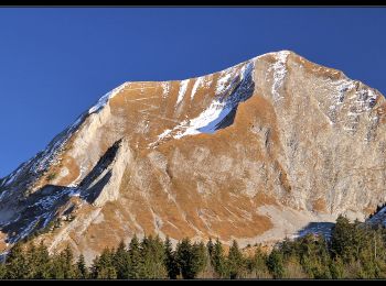
Senderismo
Senderismo
Senderismo
Bici de montaña
Senderismo
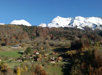
Senderismo
• Belle boucle traversant des paysages variés et offrant de beaux panoramas.
Esquí de fondo
Senderismo

Raquetas de nieve
Senderismo
Senderismo
Raquetas de nieve

Marcha nórdica
Senderismo
Senderismo
Senderismo
Senderismo
Marcha nórdica
• Circuit sous La Tulle
20 excursiones mostradas en 59
Aplicación GPS de excursión GRATIS
 SityTrail
IGN / Institutos geográficos
SityTrail World
El mundo es suyo