Bazincourt-sur-Saulx, Meuse: Best trails, routes and walks

1 comments

Bazincourt-sur-Saulx: Discover the best trails: 4 hiking trails and 1 bike and mountain-bike routes. All these trails, routes and outdoor activities are available in our SityTrail applications for smartphones and tablets.


The best trails (5)

Trail Walking Bazincourt-sur-Saulx - bazincourt n18 18a - Photo
Walking 22.284
Km

Walking

Difficult
(1)
Bazincourt-sur-Saulx, Grand Est, Meuse, France
22 km | 29 km-effort
5h 30min
476 m
468 m
Yes
cath310

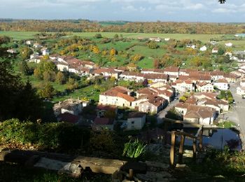
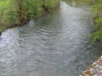
• vallée de la saulx

Trail Walking Bazincourt-sur-Saulx - 18 vallée de l'ornain et de la saulx  - Photo
Walking 23.396
Km

Walking

Difficult
Bazincourt-sur-Saulx, Grand Est, Meuse, France
23 km | 30 km-effort
4h 57min
482 m
480 m
Yes
cath310

• D/R Bazincourt...boucle des 3 côtes

Trail Running Bazincourt-sur-Saulx - Les châteaux et la vallée de la Saulx (circuit 1) - Photo
Running 23.205
Km

Running

Very difficult
Bazincourt-sur-Saulx, Grand Est, Meuse, France
23 km | 29 km-effort
2h 0min
422 m
421 m
Yes
tracegps

Trail Mountain bike Bazincourt-sur-Saulx - Les châteaux et la vallée de la Saulx (circuit 1) - Photo
Mountain bike 23.205
Km

Mountain bike

Difficult
Bazincourt-sur-Saulx, Grand Est, Meuse, France
23 km | 29 km-effort
1h 30min
422 m
421 m
Yes
tracegps

Trail Walking Bazincourt-sur-Saulx - Les châteaux et la vallée de la Saulx (circuit 1) - Photo
Walking 23.205
Km

Walking

Very difficult
Bazincourt-sur-Saulx, Grand Est, Meuse, France
23 km | 29 km-effort
4h 30min
422 m
421 m
Yes
tracegps

5 trails displayed on 5

FREE GPS app for hiking

Logo SityTrail SityTrail

IGN / Geographical institutes

Download SityTrail from the App Store Download SityTrail from Google Play

Logo SityTrail SityTrail World

The world is yours!

Download SityTrail from the App Store Download SityTrail from Google Play Download SityTrail on Huawei AppGallery

Activities

Close
My subscriptions