


16.1 km | 21 km-effort
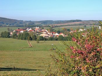
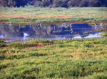
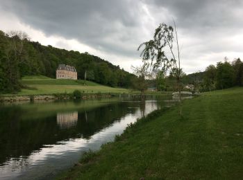
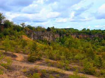
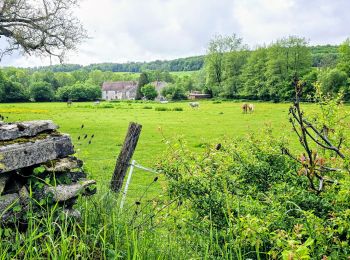
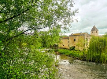
Haute-Marne: Discover the best trails: 508 hiking trails, 244 bike and mountain-bike routes and 8 equestrian circuits. All these trails, routes and outdoor activities are available in our SityTrail applications for smartphones and tablets.
Mountain bike


Cycle
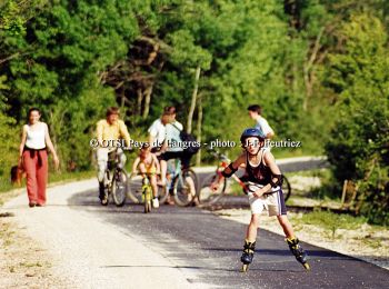
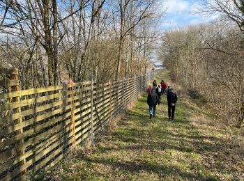
Walking
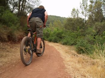
Mountain bike

Walking
On foot
• Trail created by Haute-Marne.
Walking
Walking
• en foret-PK depart:lycee de Gaulle-dir.la stele4
Walking

Mountain bike
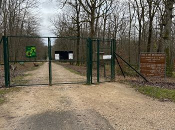
• Facile dans la forêt du Corgebin. Après la ferme La_Borde, on entre dans la forêt en contournant un champ qui s'inter...
Mountain bike
Walking
Walking
Walking
Walking
 7.173
7.173
sport
Walking
Walking
Walking
 4.998
4.998
sport
20 trails displayed on 802
FREE GPS app for hiking
 SityTrail
IGN / Geographical institutes
SityTrail World
The world is yours!