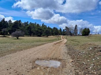
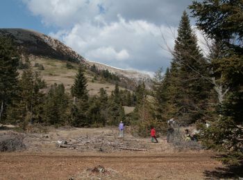
Sigottier, Hautes-Alpes: Best trails, routes and walks

Sigottier: Discover the best trails: 14 hiking trails and 1 bike and mountain-bike routes. All these trails, routes and outdoor activities are available in our SityTrail applications for smartphones and tablets.


The best trails (15)
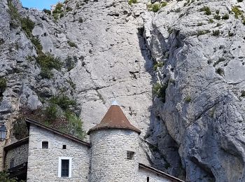
Trail Walking Sigottier - Boucle des Michons Départ Sigottier 322+ - Photo
Walking 8.791
Km

Walking

Easy
Sigottier, Provence-Alpes-Côte d'Azur, Hautes-Alpes, France
8.8 km | 13.1 km-effort
3h 20min
321 m
318 m
Yes
claude nier

Trail Walking Sigottier - Le Duffre - Photo
Walking 10.326
Km

Walking

Medium
Sigottier, Provence-Alpes-Côte d'Azur, Hautes-Alpes, France
10.3 km | 19.1 km-effort
4h 19min
655 m
655 m
Yes
Marco05

Trail Walking Sigottier - R35   La Montagne - Photo
Walking 10.536
Km
GUIDE+

Walking

Medium
Sigottier, Provence-Alpes-Côte d'Azur, Hautes-Alpes, France
10.5 km | 18 km-effort
3h 40min
563 m
560 m
Yes
Camping Les Rives du Lac

• From the farm of the Mountain, this hike allows you to access the pastures located under the mountain of Duffre. In o...
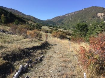
Trail Walking Sigottier - 2019 10 13 - Col de Saumane - Photo
Walking 12.09
Km

Walking

Easy
Sigottier, Provence-Alpes-Côte d'Azur, Hautes-Alpes, France
12.1 km | 19.1 km-effort
Unknown
529 m
526 m
Yes
cazycricri

Trail On foot Sigottier - Serre de la Bouisse depart La Montagne - Photo
On foot 16.284
Km

On foot

Medium
Sigottier, Provence-Alpes-Côte d'Azur, Hautes-Alpes, France
16.3 km | 27 km-effort
Unknown
765 m
772 m
Yes
claude nier

Trail Walking Sigottier - Rocher de Jardanne par La Montagne Sigottier - Photo
Walking 16.076
Km

Walking

Very difficult
Sigottier, Provence-Alpes-Côte d'Azur, Hautes-Alpes, France
16.1 km | 26 km-effort
5h 24min
772 m
770 m
Yes
claude nier

Trail Walking Sigottier - Col de Saumane et Col du Barret depart Sigottier - Photo
Walking 16.09
Km

Walking

Very difficult
Sigottier, Provence-Alpes-Côte d'Azur, Hautes-Alpes, France
16.1 km | 28 km-effort
5h 42min
906 m
906 m
Yes
claude nier

Trail Walking Sigottier - Tour des Michons départ Sigottier - Photo
Walking 9.235
Km

Walking

Easy
Sigottier, Provence-Alpes-Côte d'Azur, Hautes-Alpes, France
9.2 km | 14 km-effort
2h 37min
353 m
356 m
Yes
claude nier

Trail Walking Sigottier - la montagne - Photo
Walking 8.662
Km

Walking

Easy
Sigottier, Provence-Alpes-Côte d'Azur, Hautes-Alpes, France
8.7 km | 13.2 km-effort
2h 38min
339 m
334 m
Yes
mcterret

Trail Walking Sigottier - Sigottier col de Saumane - Photo
Walking 12.334
Km

Walking

Medium
Sigottier, Provence-Alpes-Côte d'Azur, Hautes-Alpes, France
12.3 km | 19.4 km-effort
3h 47min
529 m
532 m
Yes
pcugnod

Trail Walking Sigottier - Serre de la Bouisse - Photo
Walking 21.431
Km

Walking

Difficult
Sigottier, Provence-Alpes-Côte d'Azur, Hautes-Alpes, France
21 km | 35 km-effort
5h 16min
989 m
1084 m
No
jlv05

Trail Cycle Sigottier - Carabès et Cabre via Serres - Photo
Cycle 59.595
Km

Cycle

Medium
Sigottier, Provence-Alpes-Côte d'Azur, Hautes-Alpes, France
60 km | 76 km-effort
Unknown
1251 m
1249 m
Yes
jlv05

Trail Walking Sigottier - Sigottier-La Montagne - Photo
Walking 8.996
Km

Walking

Medium
Sigottier, Provence-Alpes-Côte d'Azur, Hautes-Alpes, France
9 km | 13.3 km-effort
Unknown
323 m
326 m
Yes
jpbus

Trail Walking Sigottier - Sigottier-Serres - Photo
Walking 7.345
Km

Walking

Medium
Sigottier, Provence-Alpes-Côte d'Azur, Hautes-Alpes, France
7.3 km | 10.8 km-effort
Unknown
260 m
260 m
Yes
jpbus

Trail Walking Sigottier - michons - Photo
Walking 2.395
Km

Walking

Easy
Sigottier, Provence-Alpes-Côte d'Azur, Hautes-Alpes, France
2.4 km | 3.7 km-effort
1h 12min
85 m
140 m
No
afab05

15 trails displayed on 15

FREE GPS app for hiking

Logo SityTrail SityTrail

IGN / Geographical institutes

Download SityTrail from the App Store Download SityTrail from Google Play

Logo SityTrail SityTrail World

The world is yours!

Download SityTrail from the App Store Download SityTrail from Google Play Download SityTrail on Huawei AppGallery

Activities

Close
My subscriptions