


25 km | 41 km-effort

User


FREE GPS app for hiking
 SityTrail
IGN / Geographical institutes
SityTrail World
The world is yours!
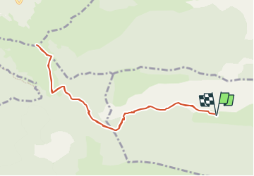
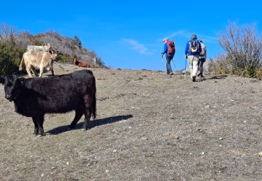
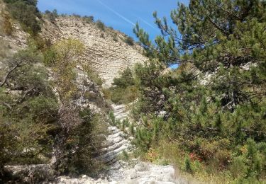
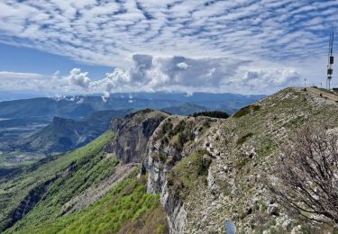
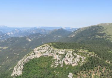
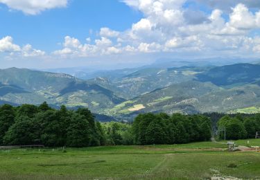
Trail Walking of 10.3 km to be discovered at Provence-Alpes-Côte d'Azur, Hautes-Alpes, Sigottier. This trail is proposed by Marco05.
Randonnée moyenne, pas du tout technisue, mais qui demande une bonne condition physique pour la montée finale.


Mountain bike

Mountain bike

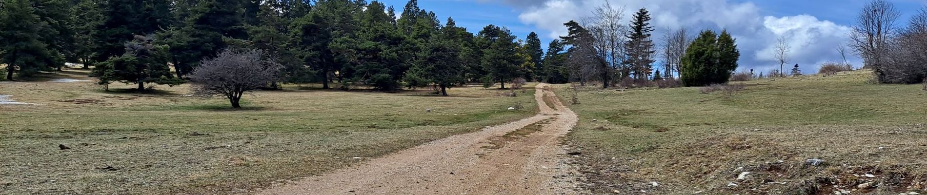
Walking
Walking
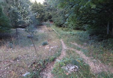
Walking
Walking
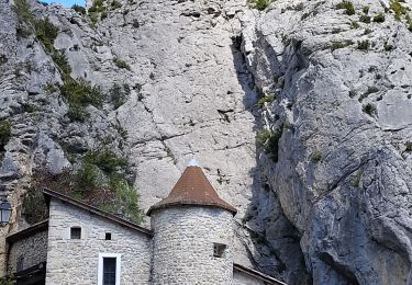
Walking
Walking
Walking