


10.1 km | 16 km-effort
Saint-Bonnet-en-Champsaur: Discover the best trails: 20 hiking trails, 15 bike and mountain-bike routes and 1 equestrian circuits. All these trails, routes and outdoor activities are available in our SityTrail applications for smartphones and tablets.
Walking


Walking
Walking
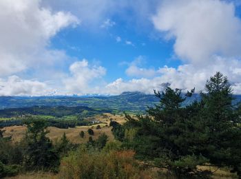
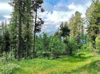
• Très variée routes chemins champs et sous bois, des montées et descentes mais pas mal de plats
Walking
Walking
Mountain bike
Electric bike
Electric bike

Electric bike

Walking
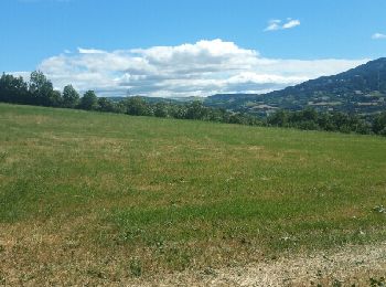
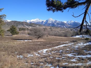
• Très variée routes chemins champs et sous bois, des montées et descentes mais pas mal de plats

Snowshoes

Equestrian
Walking
Walking
Electric bike
Mountain bike
Snowshoes
Walking
Mountain bike
Road bike
20 trails displayed on 42
FREE GPS app for hiking
 SityTrail
IGN / Geographical institutes
SityTrail World
The world is yours!