Eygliers, Hautes-Alpes: Best trails, routes and walks

4 comments

Eygliers: Discover the best trails: 20 hiking trails, 6 bike and mountain-bike routes and 1 equestrian circuits. All these trails, routes and outdoor activities are available in our SityTrail applications for smartphones and tablets.


The best trails (28)
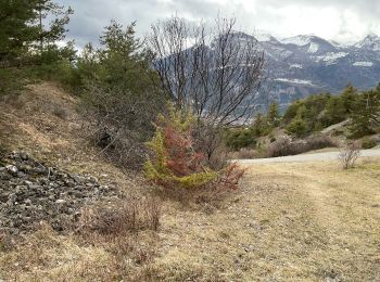
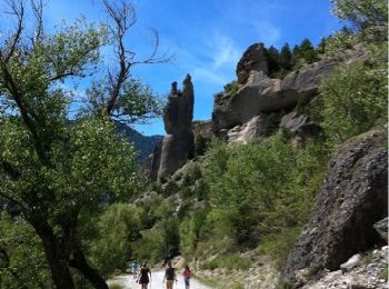
Trail Walking Eygliers - crots les Girars - Photo
Walking 10.237
Km

Walking

Medium
(1)
Eygliers, Provence-Alpes-Côte d'Azur, Hautes-Alpes, France
10.2 km | 16.9 km-effort
3h 41min
497 m
496 m
Yes
Sorriaux

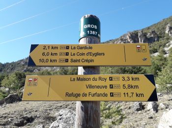
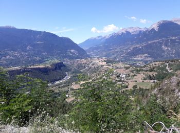
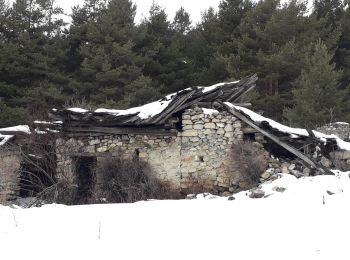
Trail Walking Eygliers - Gros  cabannes Tourouder - Photo
Walking 14.661
Km

Walking

Medium
Eygliers, Provence-Alpes-Côte d'Azur, Hautes-Alpes, France
14.7 km | 27 km-effort
4h 32min
900 m
900 m
Yes
Sorriaux

Trail Walking Eygliers - MONT DAUPHIN  tour et main du Titan  - Photo
Walking 8.149
Km

Walking

Easy
Eygliers, Provence-Alpes-Côte d'Azur, Hautes-Alpes, France
8.1 km | 11.6 km-effort
2h 5min
259 m
259 m
Yes
SyMA

Trail Walking Eygliers - Rome-43-Eygliers-L'Argentière la Bessée-20170914 - Photo
Walking 19.442
Km

Walking

Difficult
Eygliers, Provence-Alpes-Côte d'Azur, Hautes-Alpes, France
19.4 km | 28 km-effort
4h 57min
662 m
713 m
No
patrickdanilo

• ALTA-23-N°0409F43-GR653D

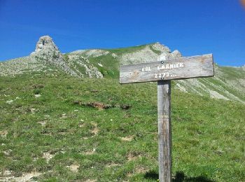
Trail Walking Eygliers - Col Garnier - Eygliers - Photo
Walking 12.272
Km

Walking

Medium
(2)
Eygliers, Provence-Alpes-Côte d'Azur, Hautes-Alpes, France
12.3 km | 25 km-effort
4h 56min
926 m
925 m
Yes
BLANCHET

Trail sport Eygliers - Promenade Eygliers - Photo
sport 2.672
Km

sport

Very easy
Eygliers, Provence-Alpes-Côte d'Azur, Hautes-Alpes, France
2.7 km | 3.9 km-effort
Unknown
92 m
96 m
Yes
gil05

Trail On foot Eygliers - le col du Goulet - Photo
On foot 10.844
Km

On foot

Difficult
Eygliers, Provence-Alpes-Côte d'Azur, Hautes-Alpes, France
10.8 km | 20 km-effort
Unknown
697 m
689 m
Yes
Forain

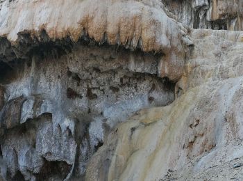
Trail Walking Eygliers - fontaine pétrifiée  - Photo
Walking 11.489
Km

Walking

Very easy
Eygliers, Provence-Alpes-Côte d'Azur, Hautes-Alpes, France
11.5 km | 12.8 km-effort
2h 57min
100 m
102 m
No
Altet

Trail Walking Eygliers - mont dauphin - citadelle vauban - Photo
Walking 7.531
Km

Walking

Easy
Eygliers, Provence-Alpes-Côte d'Azur, Hautes-Alpes, France
7.5 km | 10.4 km-effort
2h 14min
212 m
219 m
Yes
stef789

Trail On foot Eygliers - Etape 1: Mont-Dauphin au refuge de Furfande - Photo
On foot 20.214
Km

On foot

Difficult
Eygliers, Provence-Alpes-Côte d'Azur, Hautes-Alpes, France
20 km | 38 km-effort
8h 41min
1703 m
308 m
No
MathieuBourgois

Trail Walking Eygliers - tourdelagardiole250721 - Photo
Walking 11.657
Km

Walking

Very difficult
Eygliers, Provence-Alpes-Côte d'Azur, Hautes-Alpes, France
11.7 km | 20 km-effort
4h 37min
655 m
656 m
Yes
annehc

Trail Walking Eygliers - Sentier autour de Mont-Dauphin - Photo
Walking 7.787
Km

Walking

Easy
(1)
Eygliers, Provence-Alpes-Côte d'Azur, Hautes-Alpes, France
7.8 km | 11.7 km-effort
2h 39min
292 m
292 m
Yes
chamouilley

Trail Walking Eygliers - les oasis Enchantées  - Photo
Walking 3.129
Km

Walking

Easy
Eygliers, Provence-Alpes-Côte d'Azur, Hautes-Alpes, France
3.1 km | 5.3 km-effort
2h 34min
163 m
164 m
Yes
jmgeffrin

Trail Horseback riding Eygliers - queyras1-15162269-1689781418-667 - Photo
Horseback riding 24.955
Km

Horseback riding

Difficult
Eygliers, Provence-Alpes-Côte d'Azur, Hautes-Alpes, France
25 km | 39 km-effort
5h 11min
1319 m
389 m
No
Sefi78

Trail Walking Eygliers - rue des masques  - Photo
Walking 4.906
Km

Walking

Medium
Eygliers, Provence-Alpes-Côte d'Azur, Hautes-Alpes, France
4.9 km | 7.8 km-effort
2h 52min
214 m
213 m
Yes
jmgeffrin

Trail Electric bike Eygliers - test ebike - Photo
Electric bike 0.705
Km

Electric bike

Very easy
Eygliers, Provence-Alpes-Côte d'Azur, Hautes-Alpes, France
705 m | 761 m-effort
2min
2 m
11 m
No
guilebike

Trail Road bike Eygliers - Guillestre Col Izoard. Briançon  - Photo
Road bike 55.444
Km

Road bike

Very difficult
Eygliers, Provence-Alpes-Côte d'Azur, Hautes-Alpes, France
55 km | 82 km-effort
4h 9min
2069 m
1634 m
No
gecebege

Trail Walking Eygliers - Cros Egliers - Photo
Walking 6.51
Km

Walking

Medium
Eygliers, Provence-Alpes-Côte d'Azur, Hautes-Alpes, France
6.5 km | 9.9 km-effort
1h 56min
256 m
264 m
Yes
BLANCHET

Trail Walking Eygliers - Le coin - Photo
Walking 9.247
Km

Walking

Difficult
Eygliers, Provence-Alpes-Côte d'Azur, Hautes-Alpes, France
9.2 km | 15 km-effort
3h 5min
429 m
430 m
Yes
Eric2208

Trail Walking Eygliers - marmottes Guillestre - Photo
Walking 4.685
Km

Walking

Medium
Eygliers, Provence-Alpes-Côte d'Azur, Hautes-Alpes, France
4.7 km | 6.2 km-effort
1h 11min
127 m
79 m
No
Gilou

20 trails displayed on 28

FREE GPS app for hiking

Logo SityTrail SityTrail

IGN / Geographical institutes

Download SityTrail from the App Store Download SityTrail from Google Play

Logo SityTrail SityTrail World

The world is yours!

Download SityTrail from the App Store Download SityTrail from Google Play Download SityTrail on Huawei AppGallery

Activities

Close
My subscriptions