


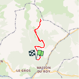

5.1 km | 7.9 km-effort

User


FREE GPS app for hiking
 SityTrail
IGN / Geographical institutes
SityTrail World
The world is yours!
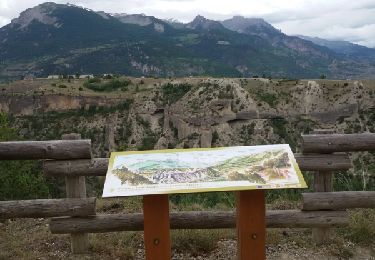
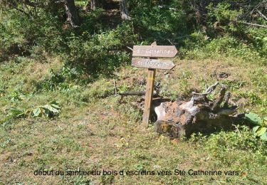
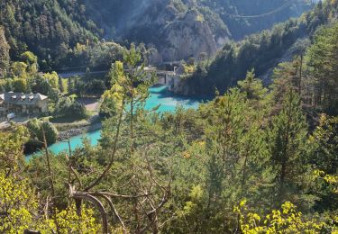
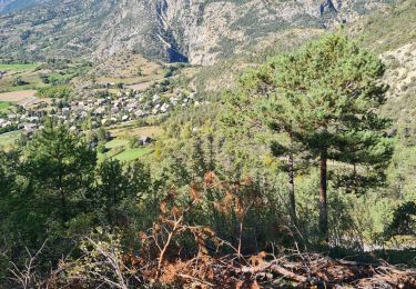
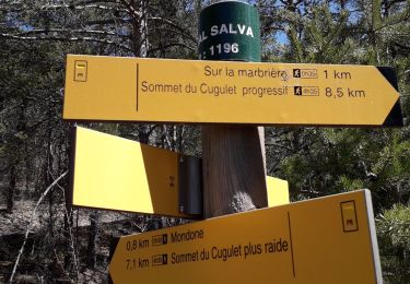
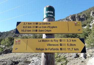
Trail Walking of 12.3 km to be discovered at Provence-Alpes-Côte d'Azur, Hautes-Alpes, Eygliers. This trail is proposed by BLANCHET.
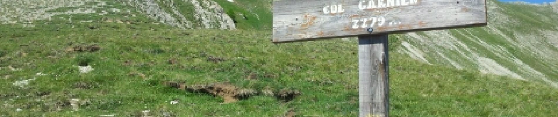
montée raide au départ


Walking
Walking
Walking
Walking
Walking
Walking
Walking
Walking
Walking
Pas d aide à la recherche de mes sity guide
maison