


15.4 km | 32 km-effort
Montgenèvre: Discover the best trails: 91 hiking trails and 14 bike and mountain-bike routes. All these trails, routes and outdoor activities are available in our SityTrail applications for smartphones and tablets.
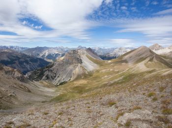
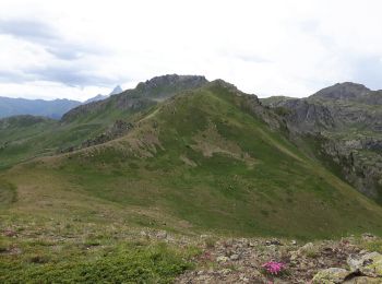
Walking


Walking
Walking
Walking

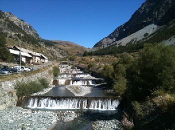
Mountain bike
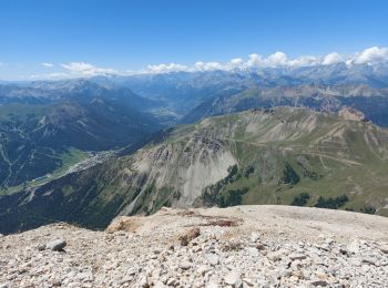
Walking
Walking
Walking
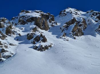
Touring skiing
Walking
Walking
Walking
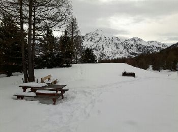
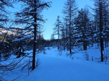
Snowshoes
Walking
Walking
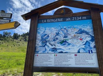
• au départ du village longez le golf jusqu'à rejoindre le vallon de la Doire que vous remonterez jusqu'à la côte 2040....
Snowshoes

Walking
Walking
Mountain bike
•
Walking
20 trails displayed on 143
FREE GPS app for hiking
 SityTrail
IGN / Geographical institutes
SityTrail World
The world is yours!