


13.3 km | 22 km-effort
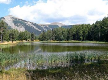
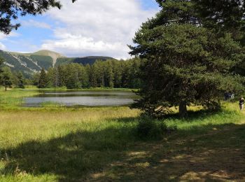
Bayons: Discover the best trails: 37 hiking trails, 2 bike and mountain-bike routes and 2 equestrian circuits. All these trails, routes and outdoor activities are available in our SityTrail applications for smartphones and tablets.

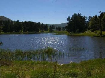
Walking


Walking

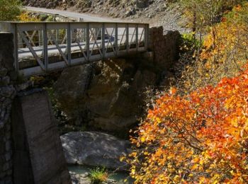
Walking
Walking
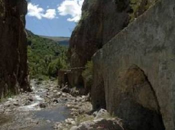
Walking
Walking

Horseback riding

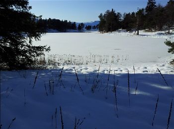
Walking

Walking
Walking
Walking
Walking
• File with points/tracks from Locus Map/4.11.1
Walking
Walking
Walking
Walking
Walking
Walking
Walking
Walking
20 trails displayed on 42
FREE GPS app for hiking
 SityTrail
IGN / Geographical institutes
SityTrail World
The world is yours!