


8.6 km | 11.1 km-effort
Montoillot: Discover the best trails: 9 hiking trails and 3 bike and mountain-bike routes. All these trails, routes and outdoor activities are available in our SityTrail applications for smartphones and tablets.
On foot


• Trail created by Côte d'Or Tourisme.
Mountain bike
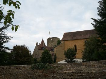
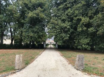
• Départ du village de Montoillot, longer la rigole qui alimente le canal de Bourgogne jusqu' au village de Commarin ou...

Mountain bike
• Départ du village de Montoillot, longer la rigole qui alimente le canal de Bourgogne jusqu' au village de Commarin ou...

Mountain bike

Walking
Walking
Walking
Walking
Walking
Walking
Walking
Walking
12 trails displayed on 12
FREE GPS app for hiking
 SityTrail
IGN / Geographical institutes
SityTrail World
The world is yours!