


15.6 km | 21 km-effort
Canton Luxembourg: Discover the best trails: 77 hiking trails and 9 bike and mountain-bike routes. All these trails, routes and outdoor activities are available in our SityTrail applications for smartphones and tablets.

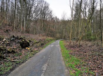
Walking


On foot
• Les forêts de la Ville réservent de nombreuses opportunités pour passer des moments de détente et de relaxation avec ...
On foot
• Trail created by Ministère de l´Économie. Website: https://map.geoportail.lu/theme/tourisme?fid=176_1676523
On foot
• Trail created by Ministère de l´Économie. Website: https://map.geoportail.lu/theme/tourisme?fid=176_3876438&versio...
On foot
• Trail created by Ville de Luxembourg. Symbol: red owl
On foot
• Trail created by VdL. Symbol: running man
On foot
• Trail created by Ministère de l´Économie. Website: https://map.geoportail.lu/theme/tourisme?fid=176_4488230&versio...

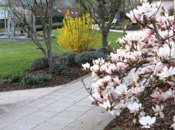
Walking
Walking

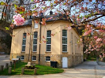
Nordic walking
On foot
On foot
On foot
On foot
On foot

On foot
On foot
On foot
On foot
On foot
20 trails displayed on 89
FREE GPS app for hiking
 SityTrail
IGN / Geographical institutes
SityTrail World
The world is yours!