Point of interest Abeilhan - Etape 1 - Photo

Etape 1

Description

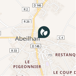
Dos à la cave coopérative, partir à gauche et, au croisement, encore à gauche. Sortir du village et, au premier embranchement, prendre la petite route à droite à travers les vignes. Au bout, bifurquer sur le sentier à gauche longeant la Thongue, puis remonter à gauche jusqu’à la route. Poursuivre jusqu’à la D 33 que l’on emprunte à droite. Passer le pont.

Photos

Etape 1 can be discovered in the following trails...
Trail Other activity Abeilhan - RANDONNEE DE LA THONGUE ET SES COTEAUX - Photo
Other activity
Daron34

Other activity

Very easy
Abeilhan, Occitania, Hérault, France
14.7 km | 17.2 km-effort
Unknown
Yes
 Daron34
Daron34

User

© OpenStreetMap contributors

Positioning

Country:
France
Region :
Occitania
Department/Province :
Hérault
Municipality :
Abeilhan
Location:
Unknown
Creation date :
2018-06-26 15:58:12.653
Updated on
2018-06-26 15:58:12.653

(0 Reviews)


Points of interest nearby

Point of interest Abeilhan - Etape 9 - Photo
Daron34
ABEILHAN 
Point of interest Abeilhan - Etape 2 - Photo
Daron34
ABEILHAN 
Point of interest Coulobres - Etape 6 - Photo
Daron34
COULOBRES 
Point of interest Coulobres - Etape 8 - Photo
Daron34
COULOBRES 
Point of interest Coulobres - Etape 7 - Photo
Daron34
COULOBRES 
Point of interest Abeilhan - Etape 4 - Photo
Daron34
ABEILHAN 
Point of interest Alignan-du-Vent - Etape 3 - Photo
Daron34
ALIGNAN-DU-VENT 
Point of interest Pouzolles - Etape 5 - Photo
Daron34
POUZOLLES 


Close
My subscriptions